UN/LOCODE hub · United States
USAXR
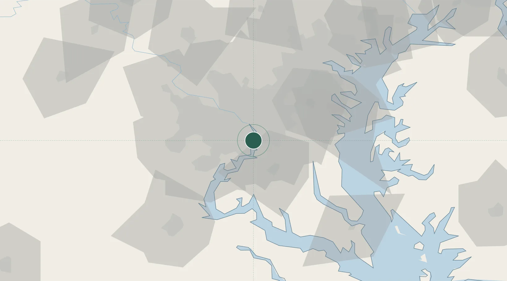
Alexandria
38.8000°, -77.0333°
159,467
Population
3
Transport functions
Transport Functions
Port
Rail
Road
Hub Profile
Place type
Provincial seat
Region
Virginia
Population
159,467
Time zone
America/New_York
Elevation
12 m
Location
Nearby Logistics Neighbours
Cities
- 1Marlow Heights8 km
- 2District Heights14 km
- 3Bristow14 km
- 4Andrews AFB15 km
- 5Willston16 km
Ports
- 1Washington D.C.7 km
- 2Annapolis52 km
- 3Baltimore65 km
- 4Fredericksburg66 km
- 5Solomons Island74 km
Airports
Trade Zones
DatabookThe Record of Consolidated Knowledge
United States beyond logistics?