Foreign Trade Zone · United States

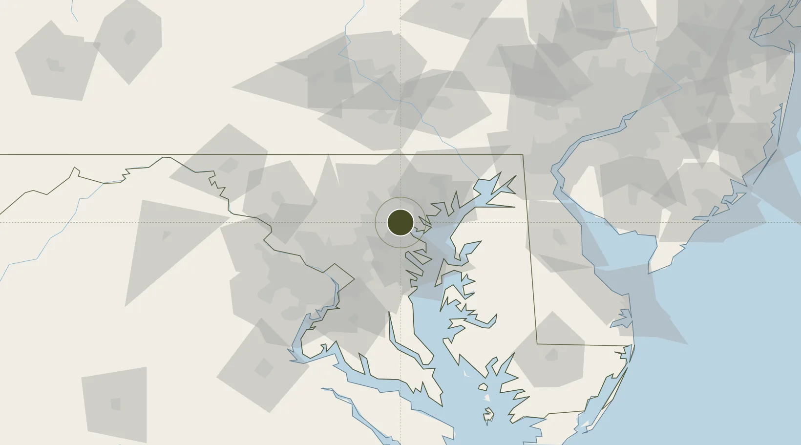
FTZ No. 074 Baltimore Active

39.2689°, -76.6032°
1.7 km
Nearest port
11.8 km
Nearest airport

Gateway access

Nearest neighbours — logibook spatial index (haversine) over the source coordinates

Zone profile

Zone type
Foreign Trade Zone
Open Zone Map
Region
Maryland
Open Zone Map
Status
Active
Open Zone Map
Management
Public-Private Partnership
Open Zone Map
Operator
City of Baltimore with the Baltimore City Development Corporation
Open Zone Map
Legal framework
Foreign-Trade Zones Act
Open Zone Map

Location

Location of ozm-4879
Natural Earth 10m (public domain) · Maryland · ozm-4879 · 39.27, -76.60GoogleOSMYandex

Nearby Logistics Neighbours

Ports
  1. 1Baltimore2 km
  2. 2Annapolis33 km
  3. 3Havre De Grace54 km
  4. 4Washington D.C.58 km
  5. 5Alexandria64 km
Nearest neighbours — logibook spatial index (haversine) over the source coordinates
Airports
  1. 1Baltimore/Washington International Thurgood Marshall Airport12 km
  2. 2Martin State Airport18 km
  3. 3Fort Meade Executive Airport24 km
  4. 4Phillips Army Air Field43 km
  5. 5Joint Base Andrews56 km
Nearest neighbours — logibook spatial index (haversine) over the source coordinates
Cities
  1. 1Brooklyn4 km
  2. 2Baltimore5 km
  3. 3Lansdowne-Baltimore6 km
  4. 4Curtis Bay, Baltimore6 km
  5. 5Arbutus9 km
Nearest neighbours — logibook spatial index (haversine) over the source coordinates
Trade Zones
  1. 1FTZ No. 073 BWI Airport12 km
  2. 2FTZ No. 063 PrInce Georges County68 km
  3. 3FTZ No. 137 Washington Dulles International Airport82 km
  4. 4FTZ No. 099 Wilmington105 km
  5. 5FTZ No. 240 Martinsburg122 km
Nearest neighbours — logibook spatial index (haversine) over the source coordinates
DatabookThe Record of Consolidated Knowledge
United States beyond logistics?
Browse databook

All Sources

Trade ZonesOpen Zone Map
CC BY
Portsthe NGA World Port Index
Public domain (US gov)
AirportsOurAirports
Public domain
LocationsUN/LOCODE
UN/LOCODE — free
← United States trade zones