Medium airport · United States
Davison Army Air FieldKDAA
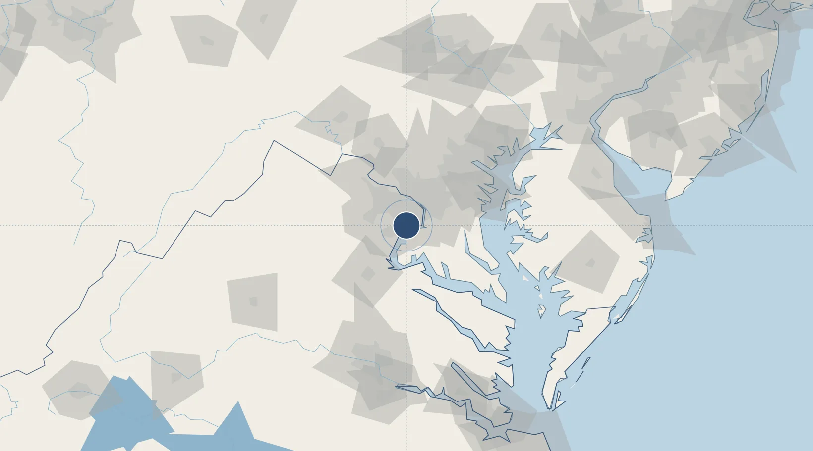
38.7150°, -77.1810°
5,421 ft
Longest runway
1
Runways
73 ft
Elevation
Runway & Layout

Radio Frequencies
ATIS
128.175 MHz
TWR
126.3 MHz
GND
121.9 MHz
CLD
24.52 MHz
CLNC DEL
APP
119.85 MHz
POTOMAC APP
DEP
118.1 MHz
POTOMAC DEP
CTAF
126.3 MHz
MISC
52.75 MHz
ARNG OPS
OPS
139.4 MHz
BASE OPS
PMSV
139.4 MHz
PMSV METRO
PTD
139.4 MHz
Navaids
DA NDB Davee 223 kHz
Runways · 1
| Runway | Dimensions | Surface | True heading | Lit |
|---|---|---|---|---|
| 14/32 | 5,421 × 75ft | Asphalt | 133° | ✓ |
Airport Specifications
IATA code
DAA
ICAO code
KDAA
Airport class
Medium airport
Scheduled service
No
Runway surface
Asphalt
Served city
Fort Belvoir
Location
Nearby Logistics Neighbours
Airports
Cities
- 1Bristow10 km
- 2Indian Head13 km
- 3Alexandria16 km
- 4Willston17 km
- 5Oakton21 km
Ports
- 1Alexandria16 km
- 2Washington D.C.21 km
- 3Fredericksburg52 km
- 4Annapolis67 km
- 5Solomons Island78 km
Trade Zones
DatabookThe Record of Consolidated Knowledge
United States beyond logistics?