Foreign Trade Zone · United States

FTZ No. 063 PrInce Georges County Active
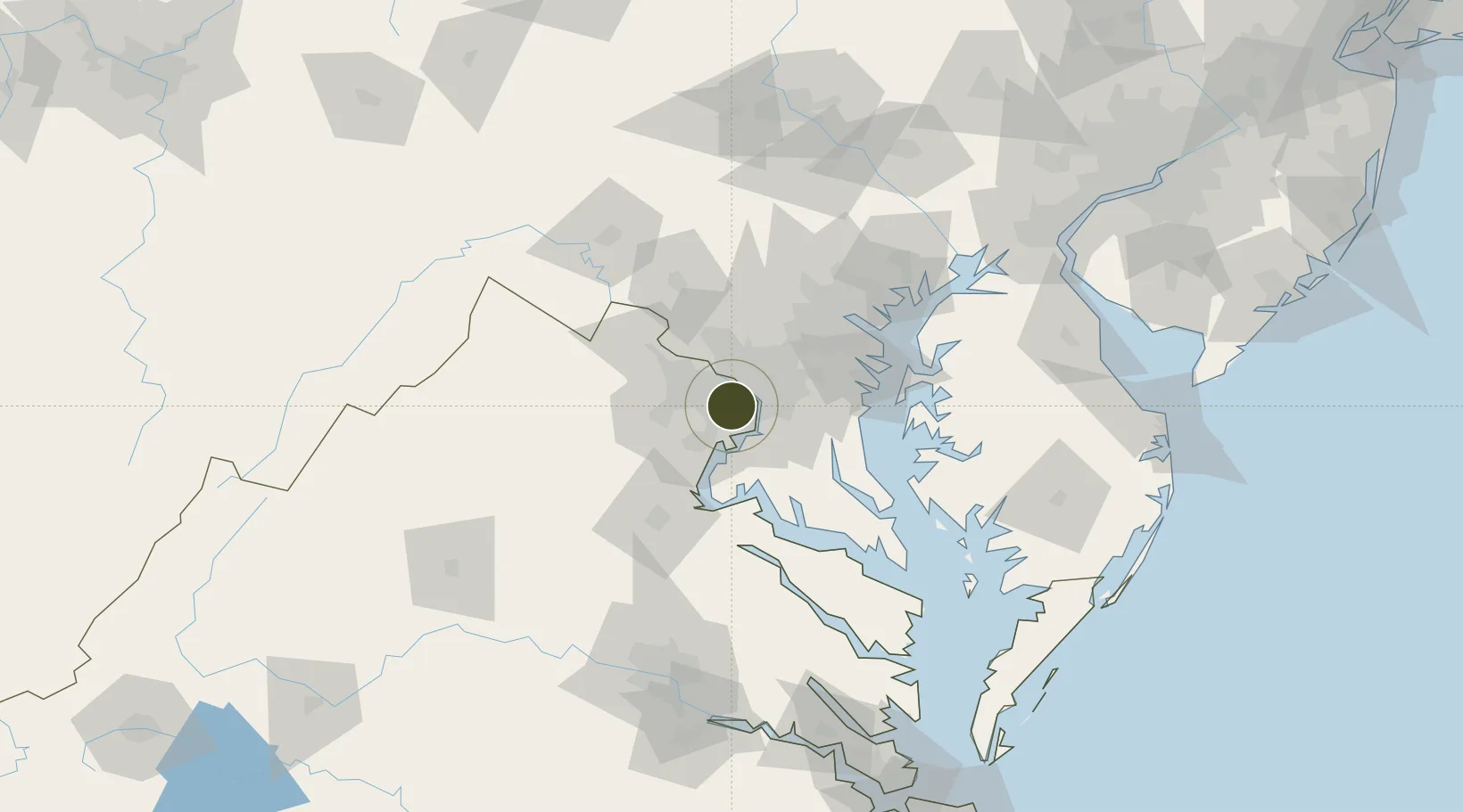
38.8330°, -77.1596°
11.5 km
Nearest port
10.8 km
Nearest airport

Gateway access

Nearest neighbours — logibook spatial index (haversine) over the source coordinates

Zone profile

Zone type
Foreign Trade Zone
Open Zone Map
Region
Virginia
Open Zone Map
Status
Active
Open Zone Map
Management
Public
Open Zone Map
Operator
PrInce George's County Government
Open Zone Map
Legal framework
Foreign-Trade Zones Act
Open Zone Map

Location

Location of ozm-4777
Natural Earth 10m (public domain) · Virginia · ozm-4777 · 38.83, -77.16GoogleOSMYandex

Nearby Logistics Neighbours

Ports
  1. 1Alexandria12 km
  2. 2Washington D.C.12 km
  3. 3Annapolis61 km
  4. 4Fredericksburg64 km
  5. 5Baltimore69 km
Nearest neighbours — logibook spatial index (haversine) over the source coordinates
Airports
  1. 1Ronald Reagan Washington National Airport11 km
  2. 2Davison Army Air Field13 km
  3. 3Joint Base Andrews26 km
  4. 4Washington Dulles International Airport29 km
  5. 5Manassas Regional Airport/Harry P. Davis Field33 km
Nearest neighbours — logibook spatial index (haversine) over the source coordinates
Cities
  1. 1Bristow5 km
  2. 2Willston5 km
  3. 3Langley11 km
  4. 4Alexandria12 km
  5. 5Oakton13 km
Nearest neighbours — logibook spatial index (haversine) over the source coordinates
Trade Zones
  1. 1FTZ No. 137 Washington Dulles International Airport29 km
  2. 2FTZ No. 073 BWI Airport57 km
  3. 3FTZ No. 074 Baltimore68 km
  4. 4FTZ No. 185 Culpeper County87 km
  5. 5FTZ No. 240 Martinsburg101 km
Nearest neighbours — logibook spatial index (haversine) over the source coordinates
DatabookThe Record of Consolidated Knowledge
United States beyond logistics?
Browse databook

All Sources

Trade ZonesOpen Zone Map
CC BY
Portsthe NGA World Port Index
Public domain (US gov)
AirportsOurAirports
Public domain
LocationsUN/LOCODE
UN/LOCODE — free
← United States trade zones