Channel & Berth Profile
Pilotage, Tugs & Services
Pilotage compulsoryYES
Tug assistanceNO
Salvage tugsNO
Shore powerYES
Potable waterYES
Diesel bunkersYES
MedicalYES
Garbage disposalYES
Facilities & Capabilities
Container—
Ro-Ro—
Liquid bulk—
Dry bulk—
Oil terminal—
Break bulk—
Dry dock—
RepairsNO
BunkeringYES
Rail linkYES
Dangerous cargo—
ISPS security—
Harbour Specifications
Harbour size
Small
Harbour type
River (Natural)
Shelter
Excellent
Water body
North Atlantic Ocean
Tidal range
0.9 m
Overhead limit
Yes
Pilotage
Yes
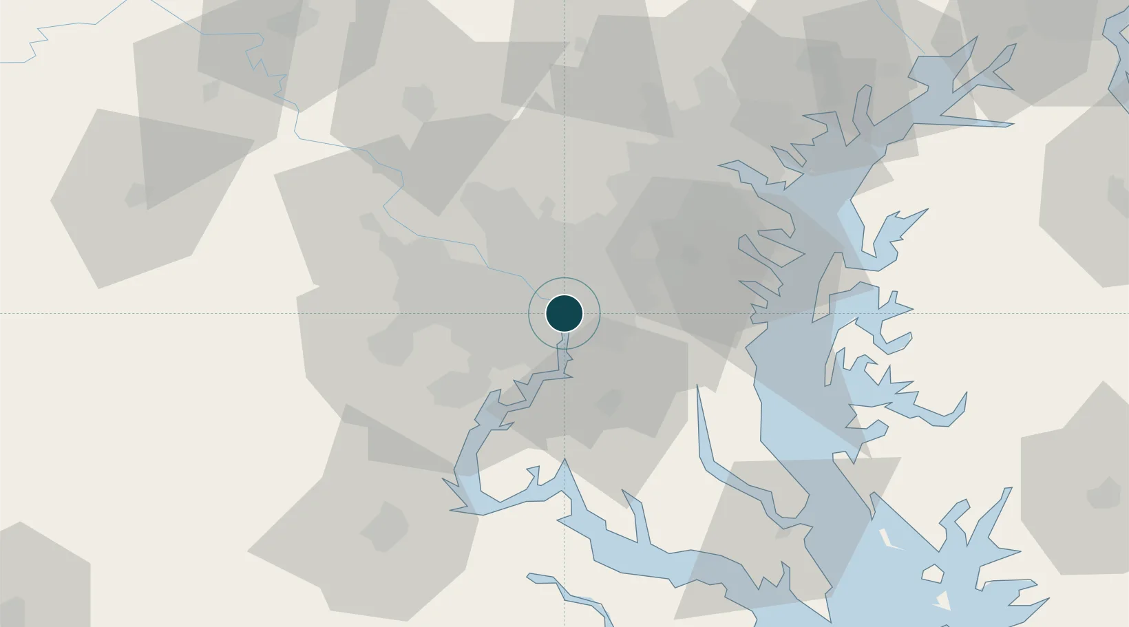
Location
Nearby Logistics Neighbours
Ports
- 1Alexandria7 km
- 2Annapolis49 km
- 3Baltimore59 km
- 4Fredericksburg73 km
- 5Solomons Island79 km
Cities
- 1Alexandria7 km
- 2Marlow Heights9 km
- 3Takoma Park12 km
- 4Chevy Chase12 km
- 5Langley13 km
Airports
Trade Zones
DatabookThe Record of Consolidated Knowledge
United States beyond logistics?