Large airport · United States

Ronald Reagan Washington National AirportKDCA
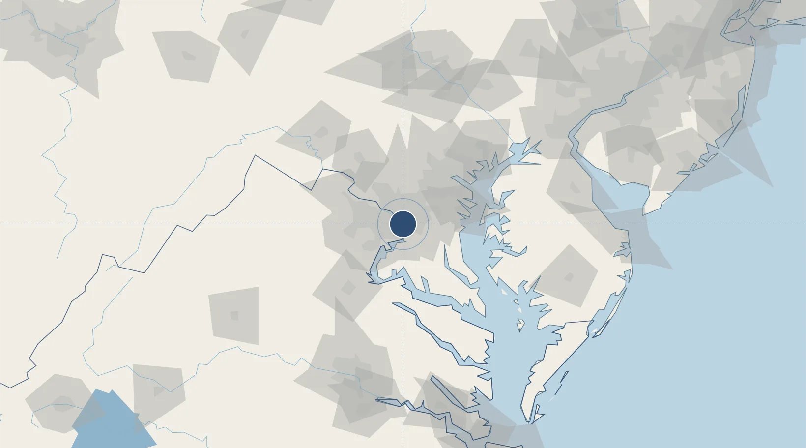
38.8521°, -77.0377°
7,169 ft
Longest runway
3
Runways
15 ft
Elevation

Runway & Layout

Ronald Reagan Washington National Airport runway & taxiway layout
Runway & taxiway layout — OpenStreetMap (ODbL) / OurAirports

Radio Frequencies

TWR
119.1 MHz
Washington Tower
TWR
134.35 MHz
TWR
257.6 MHz
Washington Tower ;Helicopters
GND
121.7 MHz
Washington Ground
GND
257.6 MHz
APP
119.85 MHz
APP
124.2 MHz
DEP
118.95 MHz
DEP
125.65 MHz
CLRD
128.25 MHz
UNIC
122.95 MHz
UNICOM
WXAS
132.65 MHz
WX ASOS: (703-418-1177)
OurAirports

Navaids

DC NDB Oxonn 332 kHz
DCA VOR-DME Washington 111.00 MHz
GTN NDB Georgetown 323 kHz
OurAirports

Runways · 3

RunwayDimensions SurfaceTrue headingLit
01/19 7,169 × 150ft Asphalt 356°
15/33 5,204 × 150ft Asphalt 143°
04/22 5,000 × 150ft Asphalt 026°
OurAirports

Airport Specifications

IATA code
DCA
OurAirports
ICAO code
KDCA
OurAirports
Airport class
Large airport
OurAirports
Scheduled service
Yes
OurAirports
Runway surface
Asphalt
OurAirports
Served city
Washington
OurAirports

Location

Location of KDCA
Natural Earth 10m (public domain) · Virginia · KDCA · 38.85, -77.04GoogleOSMYandex

Nearby Logistics Neighbours

Airports
  1. 1Joint Base Andrews16 km
  2. 2Davison Army Air Field20 km
  3. 3Fort Meade Executive Airport35 km
  4. 4Washington Dulles International Airport38 km
  5. 5Manassas Regional Airport/Harry P. Davis Field44 km
Nearest neighbours — logibook spatial index (haversine) over the source coordinates
Cities
  1. 1Alexandria6 km
  2. 2Marlow Heights9 km
  3. 3Takoma Park13 km
  4. 4Langley13 km
  5. 5Chevy Chase13 km
Nearest neighbours — logibook spatial index (haversine) over the source coordinates
Ports
  1. 1Washington D.C.2 km
  2. 2Alexandria6 km
  3. 3Annapolis50 km
  4. 4Baltimore61 km
  5. 5Fredericksburg71 km
Nearest neighbours — logibook spatial index (haversine) over the source coordinates
Trade Zones
  1. 1FTZ No. 063 PrInce Georges County11 km
  2. 2FTZ No. 137 Washington Dulles International Airport38 km
  3. 3FTZ No. 073 BWI Airport48 km
  4. 4FTZ No. 074 Baltimore60 km
  5. 5FTZ No. 185 Culpeper County97 km
Nearest neighbours — logibook spatial index (haversine) over the source coordinates
DatabookThe Record of Consolidated Knowledge
United States beyond logistics?
Browse databook

All Sources

AirportsOurAirports
Public domain
Portsthe NGA World Port Index
Public domain (US gov)
LocationsUN/LOCODE
UN/LOCODE — free
Trade Zonesthe World Bank SEZ database
CC BY 4.0
Trade ZonesOpen Zone Map
CC BY
InfrastructureOpenStreetMap
ODbL 1.0
← United States airports