Medium airport · United States

Fort Meade Executive AirportKFME
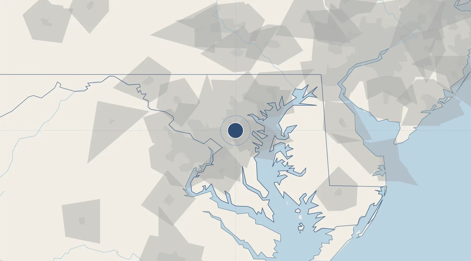
39.0854°, -76.7594°
3,000 ft
Longest runway
1
Runways
150 ft
Elevation

Runway & Layout

Fort Meade Executive Airport runway & taxiway layout
Runway & taxiway layout — OpenStreetMap (ODbL) / OurAirports

Radio Frequencies

AWOS
123.925 MHz
AWOS 3
A/D
119.7 MHz
POTOMAC APP DEP
UNIC
123.05 MHz
CTAF/UNICOM
OurAirports

Navaids

BUH NDB Anne Arundel 260 kHz
OurAirports

Runways · 1

RunwayDimensions SurfaceTrue headingLit
10/28 3,000 × 75ft Asphalt 094°
OurAirports

Airport Specifications

IATA code
FME
OurAirports
ICAO code
KFME
OurAirports
Airport class
Medium airport
OurAirports
Scheduled service
No
OurAirports
Runway surface
Asphalt
OurAirports
Served city
Fort Meade(Odenton)
OurAirports

Location

Location of KFME
Natural Earth 10m (public domain) · Maryland · KFME · 39.09, -76.76GoogleOSMYandex

Nearby Logistics Neighbours

Airports
  1. 1Baltimore/Washington International Thurgood Marshall Airport13 km
  2. 2Joint Base Andrews32 km
  3. 3Ronald Reagan Washington National Airport35 km
  4. 4Martin State Airport40 km
  5. 5Davison Army Air Field55 km
Nearest neighbours — logibook spatial index (haversine) over the source coordinates
Cities
  1. 1Fort George G Meade4 km
  2. 2Maryland City5 km
  3. 3Bowie13 km
  4. 4Glenndale14 km
  5. 5Pasadena17 km
Nearest neighbours — logibook spatial index (haversine) over the source coordinates
Ports
  1. 1Baltimore25 km
  2. 2Annapolis26 km
  3. 3Washington D.C.34 km
  4. 4Alexandria40 km
  5. 5Havre De Grace77 km
Nearest neighbours — logibook spatial index (haversine) over the source coordinates
Trade Zones
  1. 1FTZ No. 073 BWI Airport13 km
  2. 2FTZ No. 074 Baltimore24 km
  3. 3FTZ No. 063 PrInce Georges County45 km
  4. 4FTZ No. 137 Washington Dulles International Airport62 km
  5. 5FTZ No. 240 Martinsburg115 km
Nearest neighbours — logibook spatial index (haversine) over the source coordinates
DatabookThe Record of Consolidated Knowledge
United States beyond logistics?
Browse databook

All Sources

AirportsOurAirports
Public domain
Portsthe NGA World Port Index
Public domain (US gov)
LocationsUN/LOCODE
UN/LOCODE — free
Trade Zonesthe World Bank SEZ database
CC BY 4.0
Trade ZonesOpen Zone Map
CC BY
InfrastructureOpenStreetMap
ODbL 1.0
← United States airports