Foreign Trade Zone · United States

FTZ No. 185 Culpeper County Active

38.5036°, -78.0654°
58.2 km
Nearest port
52.8 km
Nearest airport

Gateway access

Nearest neighbours — logibook spatial index (haversine) over the source coordinates

Zone profile

Zone type
Foreign Trade Zone
Open Zone Map
Region
Virginia
Open Zone Map
Status
Active
Open Zone Map
Management
Public
Open Zone Map
Operator
County of Culpeper
Open Zone Map
Legal framework
Foreign-Trade Zones Act
Open Zone Map

Location

Location of ozm-4799
Natural Earth 10m (public domain) · Virginia · ozm-4799 · 38.50, -78.07GoogleOSMYandex

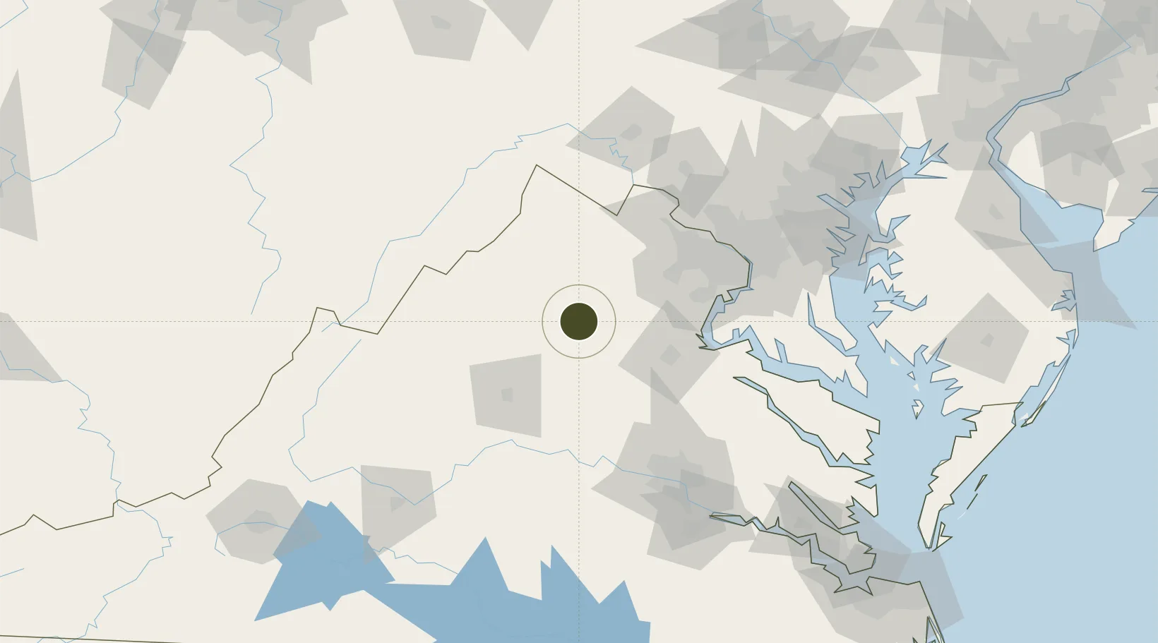
Nearby Logistics Neighbours

Ports
  1. 1Fredericksburg58 km
  2. 2Alexandria96 km
  3. 3Washington D.C.98 km
  4. 4Richmond122 km
  5. 5Piney Point140 km
Nearest neighbours — logibook spatial index (haversine) over the source coordinates
Cities
  1. 1Brandy Station16 km
  2. 2Stevensburg16 km
  3. 3Elkwood19 km
  4. 4Rapidan23 km
  5. 5Aroda25 km
Nearest neighbours — logibook spatial index (haversine) over the source coordinates
Trade Zones
  1. 1FTZ No. 137 Washington Dulles International Airport73 km
  2. 2FTZ No. 063 PrInce Georges County87 km
  3. 3FTZ No. 240 Martinsburg107 km
  4. 4FTZ No. 207 Richmond117 km
  5. 5FTZ No. 073 BWI Airport142 km
Nearest neighbours — logibook spatial index (haversine) over the source coordinates
DatabookThe Record of Consolidated Knowledge
United States beyond logistics?
Browse databook

All Sources

Trade ZonesOpen Zone Map
CC BY
Portsthe NGA World Port Index
Public domain (US gov)
AirportsOurAirports
Public domain
LocationsUN/LOCODE
UN/LOCODE — free
← United States trade zones