Seaport · United States
BaltimoreUSBAL
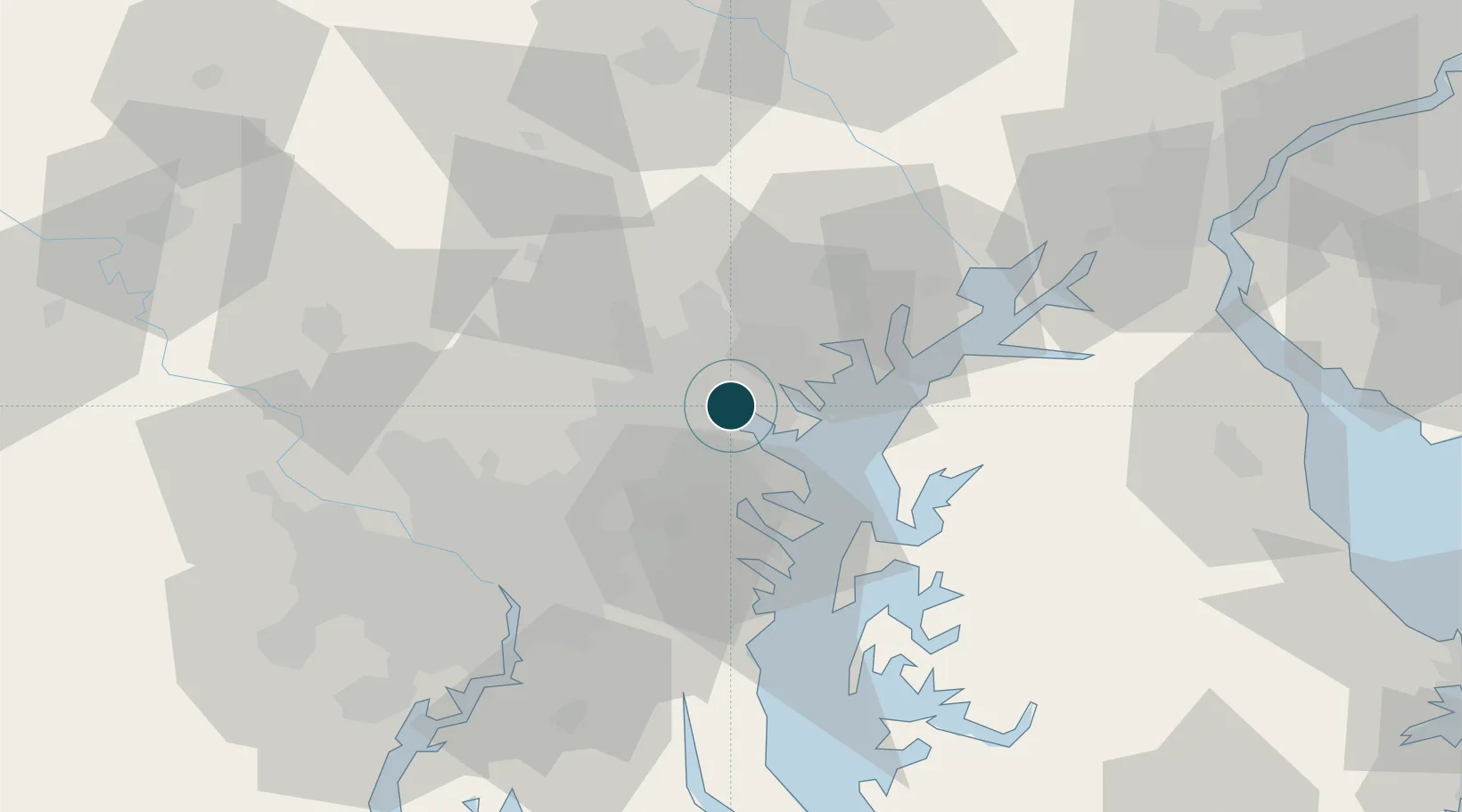
39.2667°, -76.5833°
14.0 m
Channel depth
2
Container terminals
241.5
Port liner connectivity
Channel & Berth Profile
Pilotage, Tugs & Services
Pilotage compulsoryYES
Tug assistanceYES
Shore powerYES
Potable waterYES
Diesel bunkersYES
MedicalYES
Garbage disposalYES
Facilities & Capabilities
Container—
Ro-Ro—
Liquid bulk—
Dry bulk—
Oil terminal—
Break bulk—
Dry dockNO
RepairsNO
BunkeringYES
Rail linkYES
Dangerous cargo—
ISPS security—
Harbour Specifications
Harbour size
Large
Harbour type
River (Natural)
Shelter
Good
Water body
North Atlantic Ocean
Tidal range
0.3 m
Overhead limit
Yes
Pilotage
Yes
Liner Connectivity
241.5
PLSCI
Port Liner Shipping Connectivity Index for Baltimore, as published by UNCTAD for the latest available quarter. Higher values indicate stronger scheduled liner-shipping integration.
Shown relative to the highest per-port PLSCI in the dataset (1,657.9).
Location
Container Terminals · 2
DUNDALK MARINE TERMINAL
DMT PORTS AMERICA CHESAPEAKE
SEAGIRT MARINE TERMINAL
SMT PORTS AMERICA BALTIMORE, INC.
Nearby Logistics Neighbours
Ports
- 1Annapolis33 km
- 2Havre De Grace52 km
- 3Washington D.C.59 km
- 4Alexandria65 km
- 5New Castle97 km
Cities
- 1Brooklyn5 km
- 2Curtis Bay, Baltimore6 km
- 3Lansdowne-Baltimore7 km
- 4Rosedale9 km
- 5Arbutus10 km
Airports
Trade Zones
DatabookThe Record of Consolidated Knowledge
United States beyond logistics?