Channel & Berth Profile
Pilotage, Tugs & Services
Pilotage compulsoryYES
Potable waterYES
Diesel bunkersYES
MedicalYES
Facilities & Capabilities
Container—
Ro-Ro—
Liquid bulk—
Dry bulk—
Oil terminal—
Break bulk—
Dry dock—
RepairsNO
Bunkering—
Rail link—
Dangerous cargo—
ISPS security—
Harbour Specifications
Harbour size
Very Small
Harbour type
River (Natural)
Shelter
Excellent
Water body
North Atlantic Ocean
Tidal range
0.3 m
Overhead limit
Yes
Pilotage
Yes
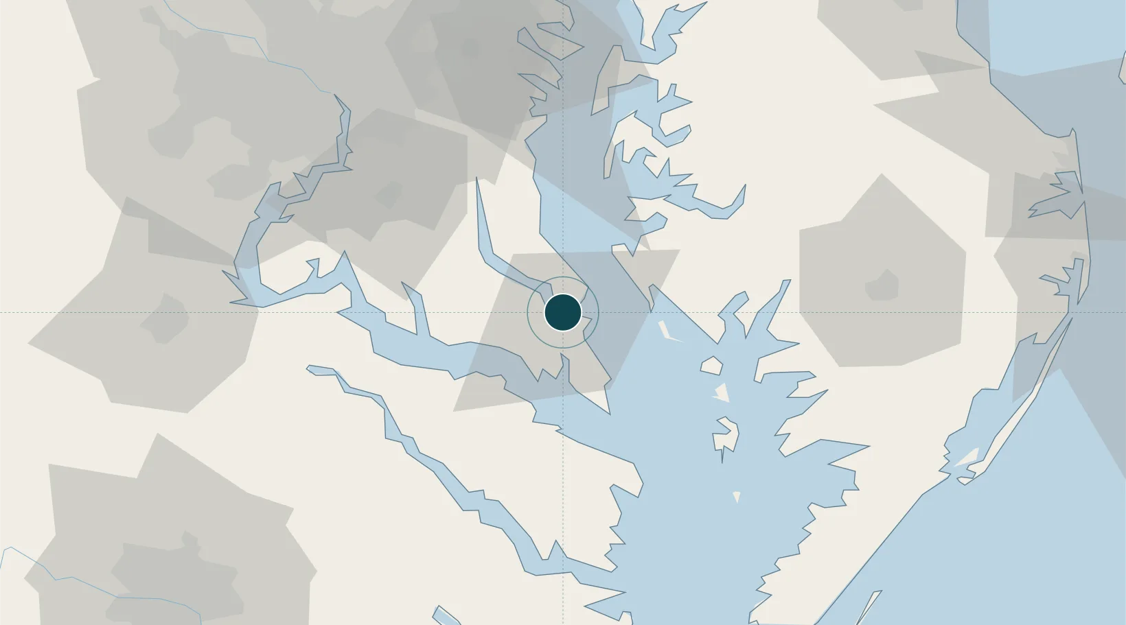
Location
Nearby Logistics Neighbours
Ports
- 1Piney Point22 km
- 2Alexandria74 km
- 3Annapolis74 km
- 4Salisbury74 km
- 5Washington D.C.79 km
Cities
- 1Cove Point8 km
- 2Prince Frederick27 km
- 3North Beach43 km
- 4Heathsville45 km
- 5Havelock47 km
Airports
Trade Zones
DatabookThe Record of Consolidated Knowledge
United States beyond logistics?