UN/LOCODE hub · United States
USVAW

Willston

38.8667°, -77.2000°
2
Transport functions

Transport Functions

Road
Multimodal
UN/LOCODE

Hub Profile

Region
VA
GeoNames

Location

Location of USVAW
Natural Earth 10m (public domain) · VA · USVAW · 38.87, -77.20GoogleOSMYandex

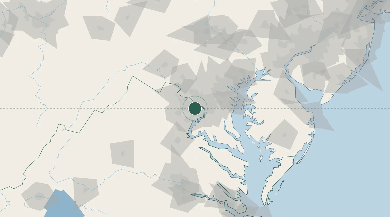
Nearby Logistics Neighbours

Cities
  1. 1Bristow7 km
  2. 2Langley9 km
  3. 3Oakton9 km
  4. 4Great Falls15 km
  5. 5Chevy Chase15 km
Nearest neighbours — logibook spatial index (haversine) over the source coordinates
Ports
  1. 1Washington D.C.14 km
  2. 2Alexandria16 km
  3. 3Annapolis63 km
  4. 4Fredericksburg67 km
  5. 5Baltimore69 km
Nearest neighbours — logibook spatial index (haversine) over the source coordinates
Airports
  1. 1Ronald Reagan Washington National Airport14 km
  2. 2Davison Army Air Field17 km
  3. 3Washington Dulles International Airport24 km
  4. 4Joint Base Andrews30 km
  5. 5Manassas Regional Airport/Harry P. Davis Field32 km
Nearest neighbours — logibook spatial index (haversine) over the source coordinates
Trade Zones
  1. 1FTZ No. 063 PrInce Georges County5 km
  2. 2FTZ No. 137 Washington Dulles International Airport24 km
  3. 3FTZ No. 073 BWI Airport58 km
  4. 4FTZ No. 074 Baltimore68 km
  5. 5FTZ No. 185 Culpeper County85 km
Nearest neighbours — logibook spatial index (haversine) over the source coordinates
DatabookThe Record of Consolidated Knowledge
United States beyond logistics?
Browse databook

All Sources

LocationsUN/LOCODE
UN/LOCODE — free
Portsthe NGA World Port Index
Public domain (US gov)
AirportsOurAirports
Public domain
Trade Zonesthe World Bank SEZ database
CC BY 4.0
Trade ZonesOpen Zone Map
CC BY
← United States locations