UN/LOCODE hub · United States
USAS3
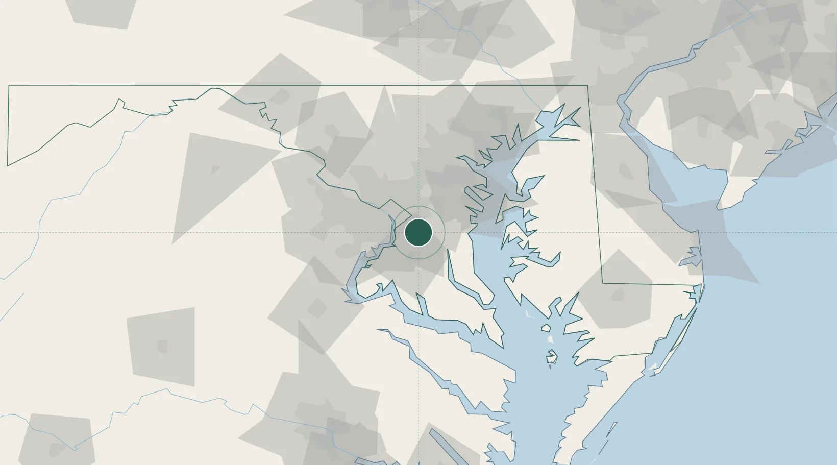
Andrews AFB
38.7833°, -76.8667°
2,973
Population
1
Transport functions
Transport Functions
Multimodal
Hub Profile
Place type
Populated place
Region
Maryland
Population
2,973
Time zone
America/New_York
Elevation
80 m
Location
Nearby Logistics Neighbours
Cities
- 1District Heights8 km
- 2Marlow Heights8 km
- 3Upper Malboro10 km
- 4Largo13 km
- 5Alexandria15 km
Ports
- 1Alexandria15 km
- 2Washington D.C.17 km
- 3Annapolis40 km
- 4Baltimore59 km
- 5Solomons Island63 km
Airports
Trade Zones
DatabookThe Record of Consolidated Knowledge
United States beyond logistics?