Foreign Trade Zone · United States

FTZ No. 137 Washington Dulles International Airport Active
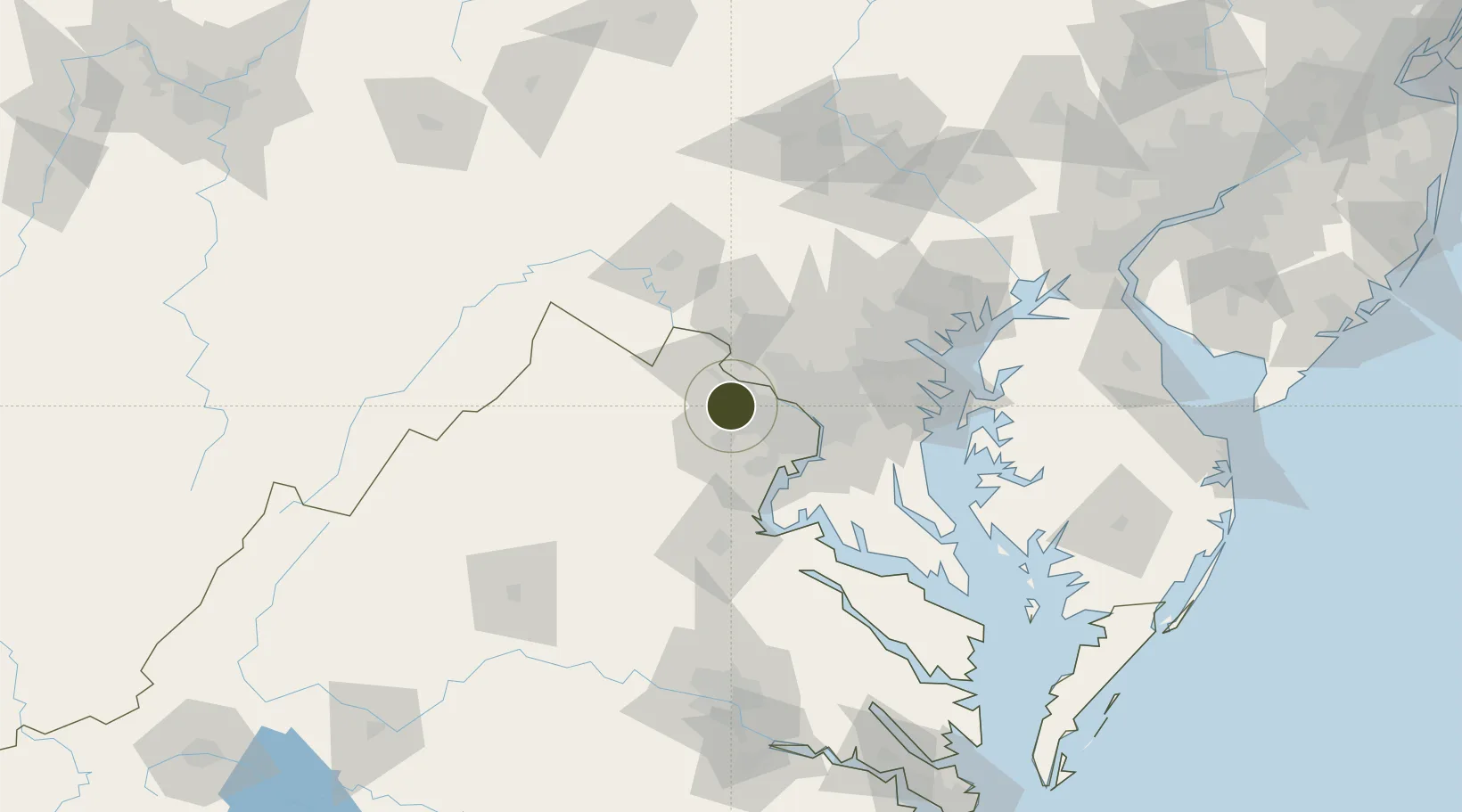
38.9531°, -77.4587°
38.0 km
Nearest port
1.0 km
Nearest airport

Gateway access

Nearest neighbours — logibook spatial index (haversine) over the source coordinates

Zone profile

Zone type
Foreign Trade Zone
Open Zone Map
Region
Virginia
Open Zone Map
Status
Active
Open Zone Map
Management
Public
Open Zone Map
Operator
Washington Dulles Foreign-Trade Zone
Open Zone Map
Legal framework
Foreign-Trade Zones Act
Open Zone Map

Location

Location of ozm-4794
Natural Earth 10m (public domain) · Virginia · ozm-4794 · 38.95, -77.46GoogleOSMYandex

Nearby Logistics Neighbours

Ports
  1. 1Washington D.C.38 km
  2. 2Alexandria41 km
  3. 3Fredericksburg73 km
  4. 4Baltimore83 km
  5. 5Annapolis84 km
Nearest neighbours — logibook spatial index (haversine) over the source coordinates
Cities
  1. 1Oak Grove6 km
  2. 2Dulles10 km
  3. 3Aldie15 km
  4. 4Great Falls16 km
  5. 5Oakton16 km
Nearest neighbours — logibook spatial index (haversine) over the source coordinates
Trade Zones
  1. 1FTZ No. 063 PrInce Georges County29 km
  2. 2FTZ No. 185 Culpeper County73 km
  3. 3FTZ No. 073 BWI Airport73 km
  4. 4FTZ No. 240 Martinsburg73 km
  5. 5FTZ No. 074 Baltimore82 km
Nearest neighbours — logibook spatial index (haversine) over the source coordinates
DatabookThe Record of Consolidated Knowledge
United States beyond logistics?
Browse databook

All Sources

Trade ZonesOpen Zone Map
CC BY
Portsthe NGA World Port Index
Public domain (US gov)
AirportsOurAirports
Public domain
LocationsUN/LOCODE
UN/LOCODE — free
← United States trade zones