Channel & Berth Profile
Pilotage, Tugs & Services
Pilotage compulsoryYES
MedicalYES
Facilities & Capabilities
Container—
Ro-Ro—
Liquid bulk—
Dry bulk—
Oil terminal—
Break bulk—
Dry dock—
Repairs—
Bunkering—
Rail linkYES
Dangerous cargo—
ISPS security—
Harbour Specifications
Harbour size
Very Small
Harbour type
River (Natural)
Shelter
Excellent
Water body
North Atlantic Ocean
Tidal range
0.9 m
Overhead limit
Yes
Pilotage
Yes
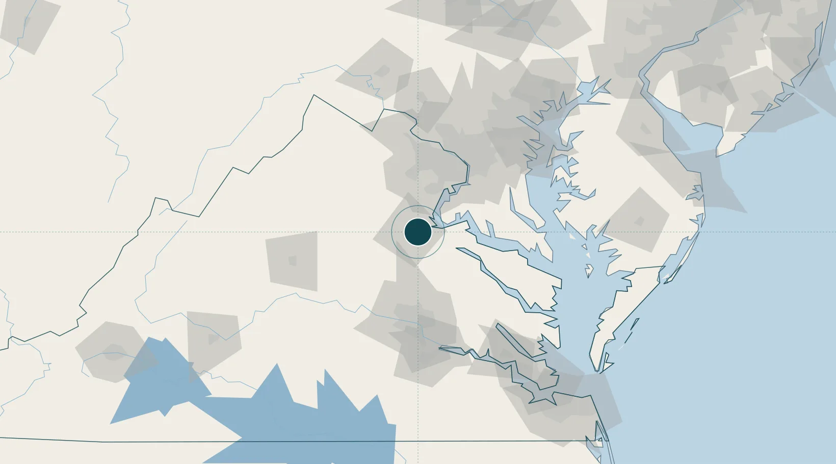
Location
Nearby Logistics Neighbours
Ports
- 1Alexandria66 km
- 2Washington D.C.73 km
- 3Piney Point82 km
- 4Richmond85 km
- 5Solomons Island87 km
Cities
- 1Spotsylvania16 km
- 2King George24 km
- 3Parker26 km
- 4Triangle30 km
- 5Milford32 km
Airports
Trade Zones
DatabookThe Record of Consolidated Knowledge
United States beyond logistics?