Large airport · United States

Washington Dulles International AirportKIAD
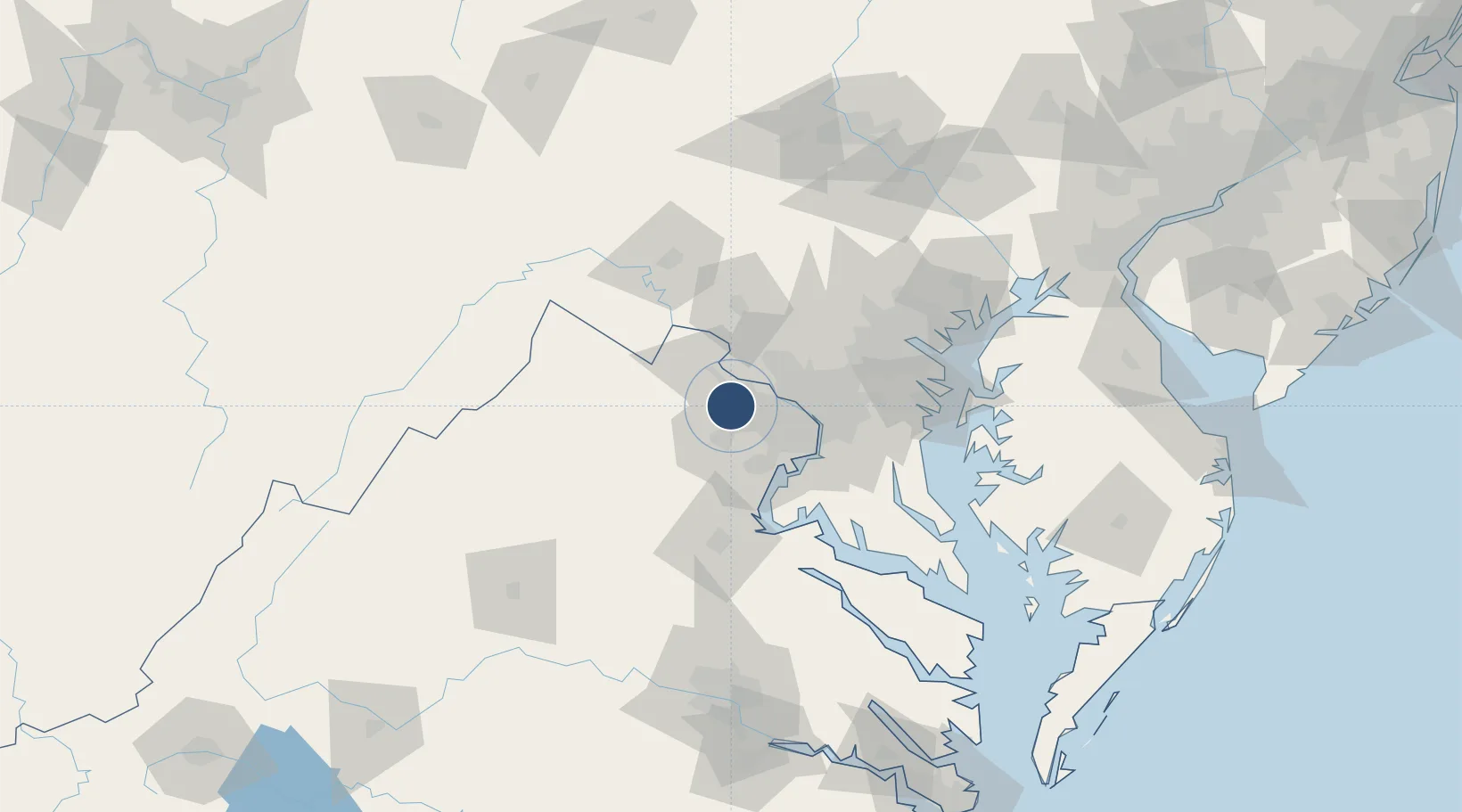
38.9445°, -77.4558°
11,500 ft
Longest runway
4
Runways
312 ft
Elevation

Runway & Layout

Washington Dulles International Airport runway & taxiway layout
Runway & taxiway layout — OpenStreetMap (ODbL) / OurAirports

Radio Frequencies

ATIS
134.85 MHz
TWR
120.1 MHz
GND
121.9 MHz
CLD
135.7 MHz
CLNC DEL
APP
120.45 MHz
POTOMAC APP
DEP
125.05 MHz
POTOMAC DEP
RCO
113.5 MHz
ARMEL RCO
RMP
129.55 MHz
RAMP CON
UNIC
122.95 MHz
UNICOM
OurAirports

Navaids

AML VORTAC Armel 113.50 MHz
IA NDB Tille 346 kHz
OurAirports

Runways · 4

RunwayDimensions SurfaceTrue headingLit
01C/19C 11,500 × 150ft CONC-G 001°
01R/19L 11,500 × 150ft Concrete 001°
12/30 10,501 × 150ft Concrete 111°
01L/19R 9,400 × 150ft Concrete 001°
OurAirports

Airport Specifications

IATA code
IAD
OurAirports
ICAO code
KIAD
OurAirports
Airport class
Large airport
OurAirports
Scheduled service
Yes
OurAirports
Runway surface
CONC-G
OurAirports
Served city
Dulles
OurAirports

Location

Location of KIAD
Natural Earth 10m (public domain) · Virginia · KIAD · 38.94, -77.46GoogleOSMYandex

Nearby Logistics Neighbours

Airports
  1. 1Manassas Regional Airport/Harry P. Davis Field25 km
  2. 2Davison Army Air Field35 km
  3. 3Ronald Reagan Washington National Airport38 km
  4. 4Quantico Marine Corps Airfield / Turner Field51 km
  5. 5Joint Base Andrews53 km
Nearest neighbours — logibook spatial index (haversine) over the source coordinates
Cities
  1. 1Oak Grove7 km
  2. 2Dulles10 km
  3. 3Oakton15 km
  4. 4Great Falls16 km
  5. 5Aldie16 km
Nearest neighbours — logibook spatial index (haversine) over the source coordinates
Ports
  1. 1Washington D.C.38 km
  2. 2Alexandria40 km
  3. 3Fredericksburg72 km
  4. 4Baltimore83 km
  5. 5Annapolis84 km
Nearest neighbours — logibook spatial index (haversine) over the source coordinates
Trade Zones
  1. 1FTZ No. 137 Washington Dulles International Airport1 km
  2. 2FTZ No. 063 PrInce Georges County29 km
  3. 3FTZ No. 185 Culpeper County72 km
  4. 4FTZ No. 073 BWI Airport73 km
  5. 5FTZ No. 240 Martinsburg74 km
Nearest neighbours — logibook spatial index (haversine) over the source coordinates
DatabookThe Record of Consolidated Knowledge
United States beyond logistics?
Browse databook

All Sources

AirportsOurAirports
Public domain
Portsthe NGA World Port Index
Public domain (US gov)
LocationsUN/LOCODE
UN/LOCODE — free
Trade Zonesthe World Bank SEZ database
CC BY 4.0
Trade ZonesOpen Zone Map
CC BY
InfrastructureOpenStreetMap
ODbL 1.0
← United States airports