Medium airport · United States
Pellston Regional Airport of Emmet County AirportKPLN
45.5709°, -84.7967°
6,513 ft
Longest runway
2
Runways
721 ft
Elevation
Runway & Layout

Radio Frequencies
ASOS
119.025 MHz
CNTR
134.6 MHz
MINNEAPOLIS CNTR
RDO
122.2 MHz
LANSING RDO
UNIC
123 MHz
CTAF/UNICOM
Runways · 2
| Runway | Dimensions | Surface | True heading | Lit |
|---|---|---|---|---|
| 14/32 | 6,513 × 150ft | Asphalt | 135° | ✓ |
| 05/23 | 5,401 × 150ft | Asphalt | 045° | ✓ |
Airport Specifications
IATA code
PLN
ICAO code
KPLN
Airport class
Medium airport
Scheduled service
Yes
Runway surface
Asphalt
Served city
Pellston
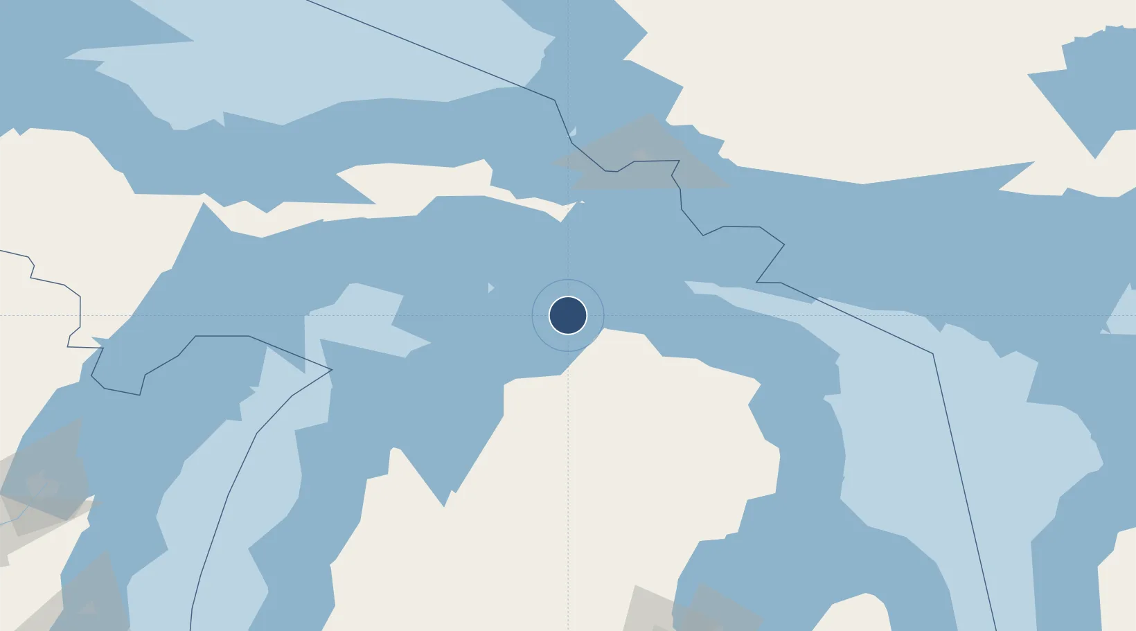
Location
Nearby Logistics Neighbours
Airports
- 1Charlevoix Municipal Airport48 km
- 2Welke Airport59 km
- 3Beaver Island Airport61 km
- 4Chippewa County International Airport79 km
- 5Sault Ste Marie Airport104 km
Cities
- 1Pellston3 km
- 2Alanson15 km
- 3Conway18 km
- 4Harbor Springs21 km
- 5Boyne City43 km
Ports
- 1Harbor Springs21 km
- 2Mackinaw City24 km
- 3Petoskey26 km
- 4Cheboygan27 km
- 5Mackinac Island34 km
Trade Zones
- 1FTZ No. 016 Sault Ste. Marie106 km
- 2FTZ No. 189 Kent Ottawa/Muskegon Counties285 km
- 3FTZ No. 101 Clinton County292 km
- 4FTZ No. 284 Genesee County293 km
- 5FTZ No. 140 Flint296 km
DatabookThe Record of Consolidated Knowledge
United States beyond logistics?