Transport Functions
Rail
Road
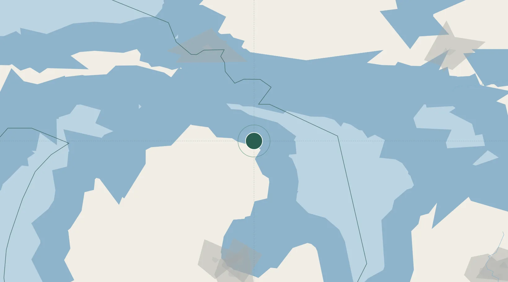
Hub Profile
Place type
Populated place
Region
Michigan
Population
225
Time zone
America/Detroit
Elevation
243 m
Location
Nearby Logistics Neighbours
Cities
- 1Calcite16 km
- 2Presque Isle19 km
- 3Onaway42 km
- 4Ossineke46 km
- 5De Tour Village81 km
Ports
- 1Calcite18 km
- 2Rogers City22 km
- 3Alpena31 km
- 4Cheboygan73 km
- 5Meldrum Bay87 km
Airports
Trade Zones
- 1FTZ No. 016 Sault Ste. Marie146 km
- 2FTZ No. 140 Flint251 km
- 3FTZ No. 284 Genesee County253 km
- 4FTZ No. 101 Clinton County271 km
- 5FTZ No. 210 St. Clair County286 km
DatabookThe Record of Consolidated Knowledge
United States beyond logistics?