Foreign Trade Zone · United States

FTZ No. 016 Sault Ste. Marie Active
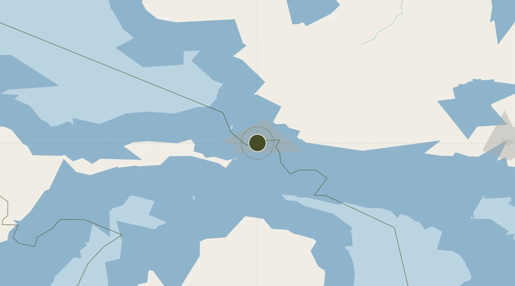
46.4858°, -84.4095°
4.8 km
Nearest port
7.6 km
Nearest airport

Gateway access

Nearest neighbours — logibook spatial index (haversine) over the source coordinates

Zone profile

Zone type
Foreign Trade Zone
Open Zone Map
Region
Michigan
Open Zone Map
Status
Active
Open Zone Map
Management
Public-Private Partnership
Open Zone Map
Operator
Economic Development Corp. of Sault Ste. Marie
Open Zone Map
Legal framework
Foreign-Trade Zones Act
Open Zone Map

Location

Location of ozm-4884
Natural Earth 10m (public domain) · Michigan · ozm-4884 · 46.49, -84.41GoogleOSMYandex

Nearby Logistics Neighbours

Ports
  1. 1Sault Ste Marie5 km
  2. 2Sault Ste Marie6 km
  3. 3Goulais Bay28 km
  4. 4Bruce Mines53 km
  5. 5Thessalon70 km
Nearest neighbours — logibook spatial index (haversine) over the source coordinates
Airports
  1. 1Sault Ste Marie Airport8 km
  2. 2Chippewa County International Airport27 km
  3. 3Pellston Regional Airport of Emmet County Airport106 km
  4. 4Welke Airport121 km
  5. 5Beaver Island Airport126 km
Nearest neighbours — logibook spatial index (haversine) over the source coordinates
Cities
  1. 1Brimley15 km
  2. 2Goulais River24 km
  3. 3Kinross26 km
  4. 4Echo Bay26 km
  5. 5Rudyard33 km
Nearest neighbours — logibook spatial index (haversine) over the source coordinates
Trade Zones
  1. 1FTZ No. 167 Brown County377 km
  2. 2FTZ No. 284 Genesee County389 km
  3. 3FTZ No. 140 Flint390 km
  4. 4FTZ No. 189 Kent Ottawa/Muskegon Counties391 km
  5. 5FTZ No. 101 Clinton County395 km
Nearest neighbours — logibook spatial index (haversine) over the source coordinates
DatabookThe Record of Consolidated Knowledge
United States beyond logistics?
Browse databook

All Sources

Trade ZonesOpen Zone Map
CC BY
Portsthe NGA World Port Index
Public domain (US gov)
AirportsOurAirports
Public domain
LocationsUN/LOCODE
UN/LOCODE — free
← United States trade zones