Medium airport · Canada

Gore Bay Manitoulin AirportCYZE
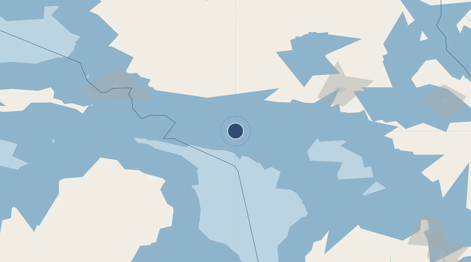
45.8853°, -82.5678°
5,500 ft
Longest runway
1
Runways
623 ft
Elevation

Runway & Layout

Gore Bay Manitoulin Airport runway & taxiway layout
Runway & taxiway layout — OpenStreetMap (ODbL) / OurAirports

Radio Frequencies

AWOS
128.725 MHz
RCO
126.7 MHz
LONDON RDO
UNIC
122.8 MHz
ATF/UNICOM
OurAirports

Runways · 1

RunwayDimensions SurfaceTrue headingLit
11/29 5,500 × 100ft Asphalt 097°
OurAirports

Airport Specifications

IATA code
YZE
OurAirports
ICAO code
CYZE
OurAirports
Airport class
Medium airport
OurAirports
Scheduled service
No
OurAirports
Runway surface
Asphalt
OurAirports
Served city
Gore Bay
OurAirports

Location

Location of CYZE
Natural Earth 10m (public domain) · Ontario · CYZE · 45.89, -82.57GoogleOSMYandex

Nearby Logistics Neighbours

Airports
  1. 1Elliot Lake Municipal Airport52 km
  2. 2Manitoulin East Municipal Airport55 km
  3. 3Alpena County Regional Airport119 km
  4. 4Chippewa County International Airport151 km
  5. 5Sudbury Airport159 km
Nearest neighbours — logibook spatial index (haversine) over the source coordinates
Cities
  1. 1Silver Water23 km
  2. 2Mindemoya35 km
  3. 3Presque Isle96 km
  4. 4De Tour Village104 km
  5. 5Calcite109 km
Nearest neighbours — logibook spatial index (haversine) over the source coordinates
Ports
  1. 1Gore Bay9 km
  2. 2Meldrum Bay43 km
  3. 3Blind River44 km
  4. 4Little Current50 km
  5. 5Manitowaning61 km
Nearest neighbours — logibook spatial index (haversine) over the source coordinates
Trade Zones
  1. 1FTZ No. 016 Sault Ste. Marie157 km
  2. 2FTZ No. 140 Flint333 km
  3. 3FTZ No. 284 Genesee County340 km
  4. 4FTZ No. 210 St. Clair County340 km
  5. 5FTZ No. 101 Clinton County370 km
Nearest neighbours — logibook spatial index (haversine) over the source coordinates
DatabookThe Record of Consolidated Knowledge
Canada beyond logistics?
Browse databook

All Sources

AirportsOurAirports
Public domain
Portsthe NGA World Port Index
Public domain (US gov)
LocationsUN/LOCODE
UN/LOCODE — free
Trade Zonesthe World Bank SEZ database
CC BY 4.0
Trade ZonesOpen Zone Map
CC BY
InfrastructureOpenStreetMap
ODbL 1.0
← Canada airports