Channel & Berth Profile
Pilotage, Tugs & Services
Pilotage compulsoryYES
Tug assistanceYES
Salvage tugsNO
MedicalYES
Facilities & Capabilities
Container—
Ro-Ro—
Liquid bulk—
Dry bulk—
Oil terminal—
Break bulk—
Dry dock—
Repairs—
Bunkering—
Rail link—
Dangerous cargo—
ISPS security—
Harbour Specifications
Harbour size
Very Small
Harbour type
Coastal (Breakwater)
Shelter
Poor
Water body
Lake Huron; Great Lakes
Pilotage
Yes
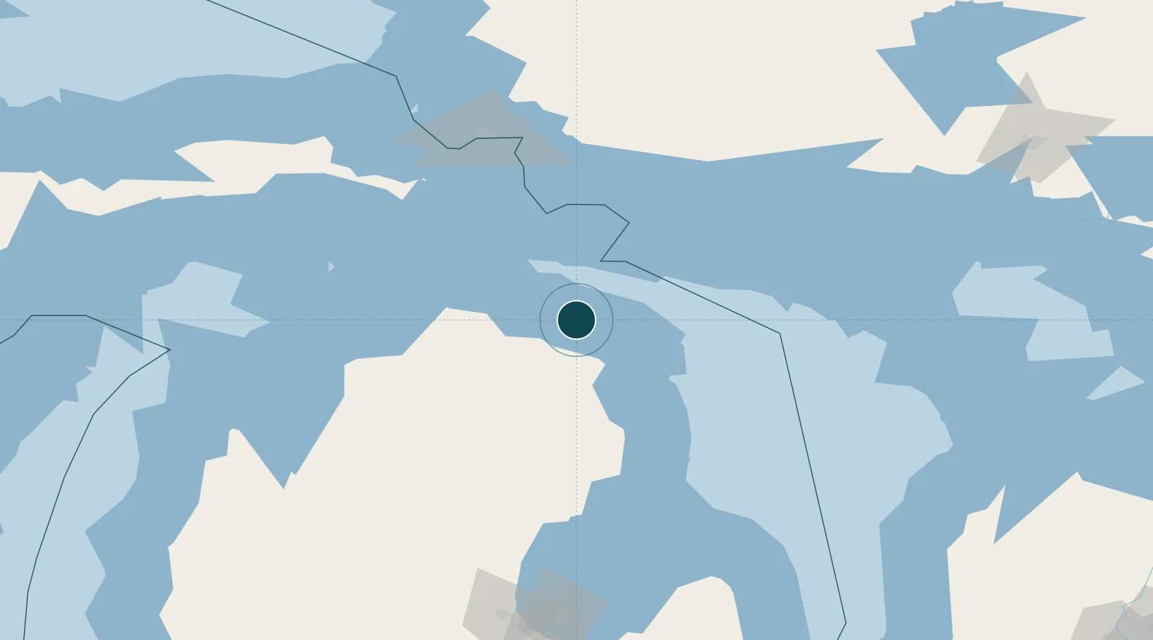
Location
Nearby Logistics Neighbours
Ports
- 1Rogers City5 km
- 2Alpena48 km
- 3Cheboygan59 km
- 4Meldrum Bay77 km
- 5Mackinac Island81 km
Cities
- 1Posen18 km
- 2Presque Isle28 km
- 3Onaway35 km
- 4De Tour Village64 km
- 5Ossineke64 km
Airports
Trade Zones
- 1FTZ No. 016 Sault Ste. Marie128 km
- 2FTZ No. 140 Flint267 km
- 3FTZ No. 284 Genesee County269 km
- 4FTZ No. 101 Clinton County285 km
- 5FTZ No. 210 St. Clair County304 km
DatabookThe Record of Consolidated Knowledge
United States beyond logistics?