Transport Functions
Rail
Road
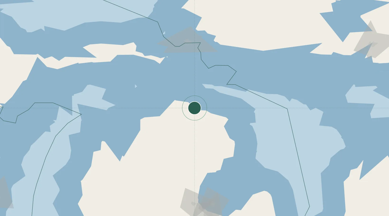
Hub Profile
Place type
Populated place
Region
Michigan
Population
841
Time zone
America/Detroit
Elevation
259 m
Location
Nearby Logistics Neighbours
Ports
- 1Rogers City33 km
- 2Calcite35 km
- 3Cheboygan39 km
- 4Petoskey59 km
- 5Harbor Springs61 km
Airports
Trade Zones
- 1FTZ No. 016 Sault Ste. Marie127 km
- 2FTZ No. 284 Genesee County262 km
- 3FTZ No. 140 Flint262 km
- 4FTZ No. 101 Clinton County271 km
- 5FTZ No. 189 Kent Ottawa/Muskegon Counties287 km
DatabookThe Record of Consolidated Knowledge
United States beyond logistics?