Transport Functions
Road
Multimodal
Hub Profile
Place type
Populated place
Region
Michigan
Time zone
America/Detroit
Elevation
189 m
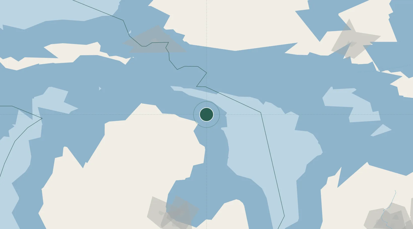
Location
Nearby Logistics Neighbours
Cities
- 1Posen19 km
- 2Calcite27 km
- 3Ossineke45 km
- 4Onaway59 km
- 5Silver Water78 km
Ports
- 1Alpena26 km
- 2Calcite28 km
- 3Rogers City32 km
- 4Meldrum Bay76 km
- 5Cheboygan87 km
Airports
Trade Zones
- 1FTZ No. 016 Sault Ste. Marie151 km
- 2FTZ No. 140 Flint256 km
- 3FTZ No. 284 Genesee County259 km
- 4FTZ No. 101 Clinton County281 km
- 5FTZ No. 210 St. Clair County284 km
DatabookThe Record of Consolidated Knowledge
United States beyond logistics?