Medium airport · Canada
Manitoulin East Municipal AirportCYEM
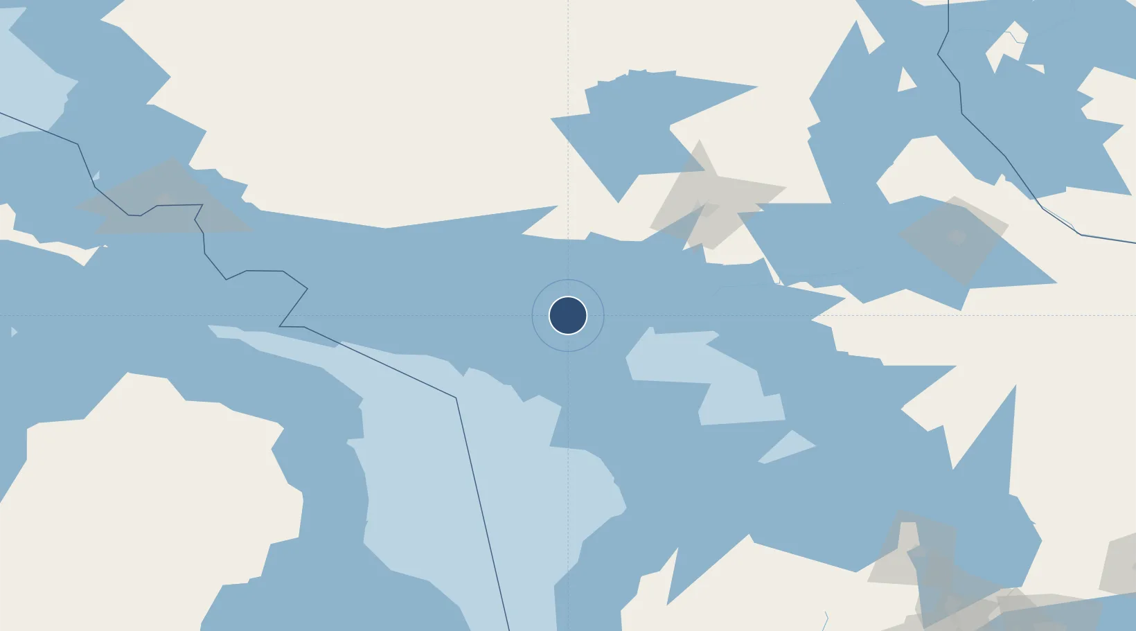
45.8424°, -81.8576°
3,500 ft
Longest runway
1
Runways
869 ft
Elevation
Runway & Layout

Radio Frequencies
CNTR
135.4 MHz
TORONTO CNTR
UNIC
122.8 MHz
ATF/UNICOM
Navaids
H7 NDB Manitoulin 388 kHz
Runways · 1
| Runway | Dimensions | Surface | True heading | Lit |
|---|---|---|---|---|
| 02/20 | 3,500 × 100ft | Asphalt | 012° | ✓ |
Airport Specifications
IATA code
YEM
ICAO code
CYEM
Airport class
Medium airport
Scheduled service
No
Runway surface
Asphalt
Served city
Sheguiandah
Location
Nearby Logistics Neighbours
Airports
- 1Gore Bay Manitoulin Airport55 km
- 2Elliot Lake Municipal Airport78 km
- 3Sudbury Airport119 km
- 4Wiarton Airport135 km
- 5Alpena County Regional Airport158 km
Cities
- 1Mindemoya27 km
- 2Silver Water78 km
- 3Lively85 km
- 4Key Harbour87 km
- 5Copper Cliff92 km
Ports
- 1Manitowaning11 km
- 2Little Current17 km
- 3Killarney30 km
- 4Gore Bay48 km
- 5Key Harbour86 km
Trade Zones
- 1FTZ No. 016 Sault Ste. Marie209 km
- 2FTZ No. 210 St. Clair County339 km
- 3FTZ No. 140 Flint349 km
- 4FTZ No. 034 Niagara County354 km
- 5FTZ No. 284 Genesee County358 km
DatabookThe Record of Consolidated Knowledge
Canada beyond logistics?