Channel & Berth Profile
Pilotage, Tugs & Services
Pilotage compulsoryYES
Tug assistanceNO
Salvage tugsNO
Potable waterYES
Diesel bunkersYES
MedicalYES
Facilities & Capabilities
Container—
Ro-Ro—
Liquid bulk—
Dry bulk—
Oil terminal—
Break bulk—
Dry dock—
RepairsNO
BunkeringYES
Rail link—
Dangerous cargo—
ISPS security—
Harbour Specifications
Harbour size
Very Small
Harbour type
Open Roadstead
Shelter
Poor
Water body
Lake Huron; Great Lakes
Overhead limit
Yes
Pilotage
Yes
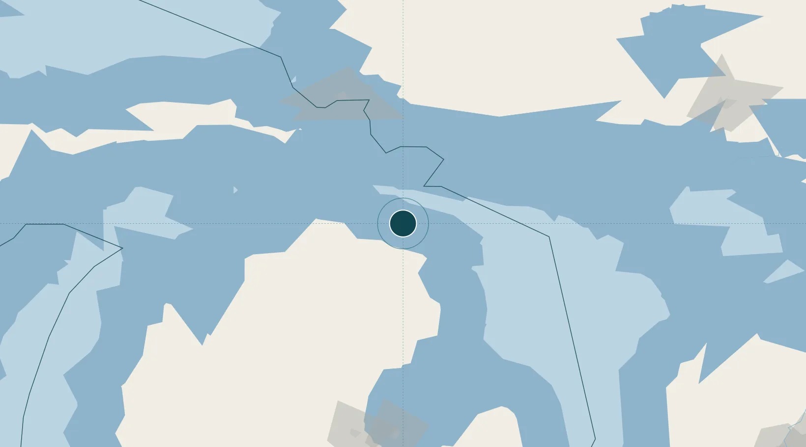
Location
Nearby Logistics Neighbours
Ports
- 1Calcite5 km
- 2Alpena53 km
- 3Cheboygan55 km
- 4Meldrum Bay76 km
- 5Mackinac Island77 km
Cities
- 1Calcite6 km
- 2Posen22 km
- 3Presque Isle32 km
- 4Onaway33 km
- 5De Tour Village60 km
Airports
Trade Zones
- 1FTZ No. 016 Sault Ste. Marie124 km
- 2FTZ No. 140 Flint271 km
- 3FTZ No. 284 Genesee County273 km
- 4FTZ No. 101 Clinton County288 km
- 5FTZ No. 210 St. Clair County309 km
DatabookThe Record of Consolidated Knowledge
United States beyond logistics?