Small airport · United States

Charlevoix Municipal AirportKCVX
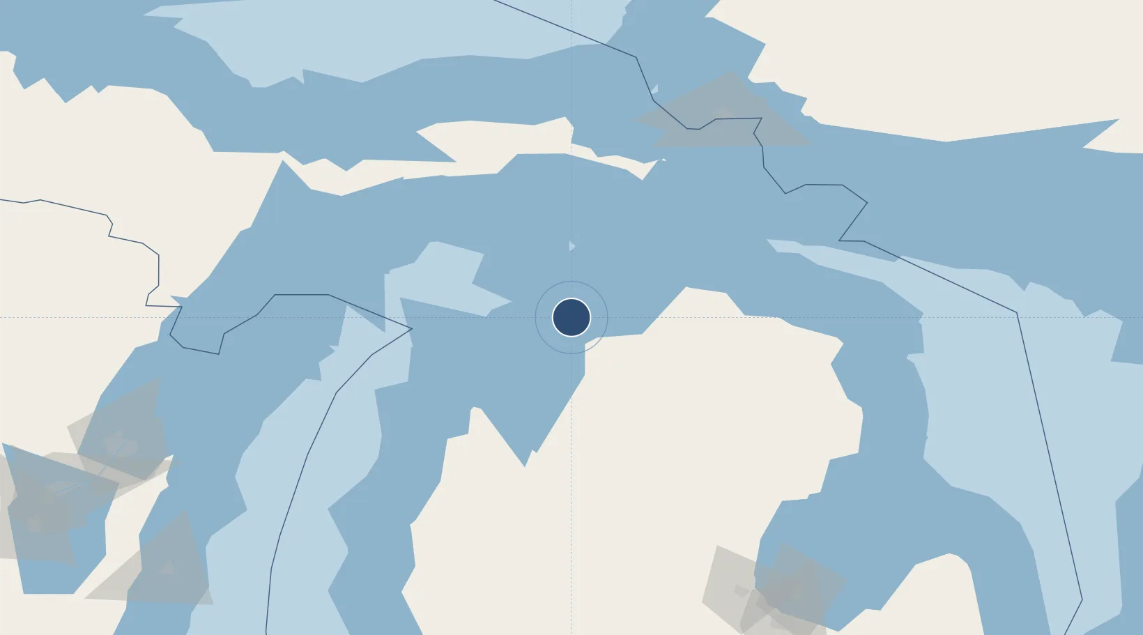
45.3048°, -85.2748°
4,549 ft
Longest runway
2
Runways
669 ft
Elevation

Runway & Layout

Charlevoix Municipal Airport runway & taxiway layout
Runway & taxiway layout — OpenStreetMap (ODbL) / OurAirports

Radio Frequencies

AWOS
120 MHz
AWOS 3
CNTR
134.6 MHz
MINNEAPOLIS CNTR
UNIC
122.8 MHz
CTAF/UNICOM
OurAirports

Runways · 2

RunwayDimensions SurfaceTrue headingLit
09/27 4,549 × 75ft Asphalt 085°
04/22 1,280 × 200ft Grass 046°
OurAirports

Airport Specifications

ICAO code
KCVX
OurAirports
Airport class
Small airport
OurAirports
Scheduled service
Yes
OurAirports
Runway surface
Asphalt
OurAirports
Served city
Charlevoix
OurAirports

Location

Location of KCVX
Natural Earth 10m (public domain) · Michigan · KCVX · 45.30, -85.27GoogleOSMYandex

Nearby Logistics Neighbours

Airports
  1. 1Pellston Regional Airport of Emmet County Airport48 km
  2. 2Beaver Island Airport49 km
  3. 3Welke Airport50 km
  4. 4Cherry Capital Airport67 km
  5. 5Chippewa County International Airport122 km
Nearest neighbours — logibook spatial index (haversine) over the source coordinates
Cities
  1. 1Boyne City24 km
  2. 2Central Lake27 km
  3. 3Harbor Springs27 km
  4. 4Boyne Falls32 km
  5. 5Northport34 km
Nearest neighbours — logibook spatial index (haversine) over the source coordinates
Ports
  1. 1Charlevoix2 km
  2. 2Petoskey25 km
  3. 3Harbor Springs27 km
  4. 4Traverse City66 km
  5. 5Mackinaw City69 km
Nearest neighbours — logibook spatial index (haversine) over the source coordinates
Trade Zones
  1. 1FTZ No. 016 Sault Ste. Marie147 km
  2. 2FTZ No. 189 Kent Ottawa/Muskegon Counties244 km
  3. 3FTZ No. 019 Omaha252 km
  4. 4FTZ No. 167 Brown County255 km
  5. 5FTZ No. 101 Clinton County266 km
Nearest neighbours — logibook spatial index (haversine) over the source coordinates
DatabookThe Record of Consolidated Knowledge
United States beyond logistics?
Browse databook

All Sources

AirportsOurAirports
Public domain
Portsthe NGA World Port Index
Public domain (US gov)
LocationsUN/LOCODE
UN/LOCODE — free
Trade Zonesthe World Bank SEZ database
CC BY 4.0
Trade ZonesOpen Zone Map
CC BY
InfrastructureOpenStreetMap
ODbL 1.0
← United States airports