Seaport · United States

HoodsportUS9WA

47.4167°, -123.1333°
Hoodsport is also a UN/LOCODE logistics hub →

Channel & Berth Profile

SEA LEVEL (CD)CHANNEL BEDCargo pier · 6.4 m
NGA World Port Index

Pilotage, Tugs & Services

Pilotage availableYES
Potable waterYES
Diesel bunkersYES
NGA World Port Index

Facilities & Capabilities

Container
Ro-Ro
Liquid bulk
Dry bulk
Oil terminal
Break bulk
Dry dock
Repairs
Bunkering
Rail link
Dangerous cargo
ISPS security
NGA World Port Index

Harbour Specifications

Harbour size
Very Small
NGA World Port Index
Harbour type
Coastal (Natural)
NGA World Port Index
Shelter
Excellent
NGA World Port Index
Water body
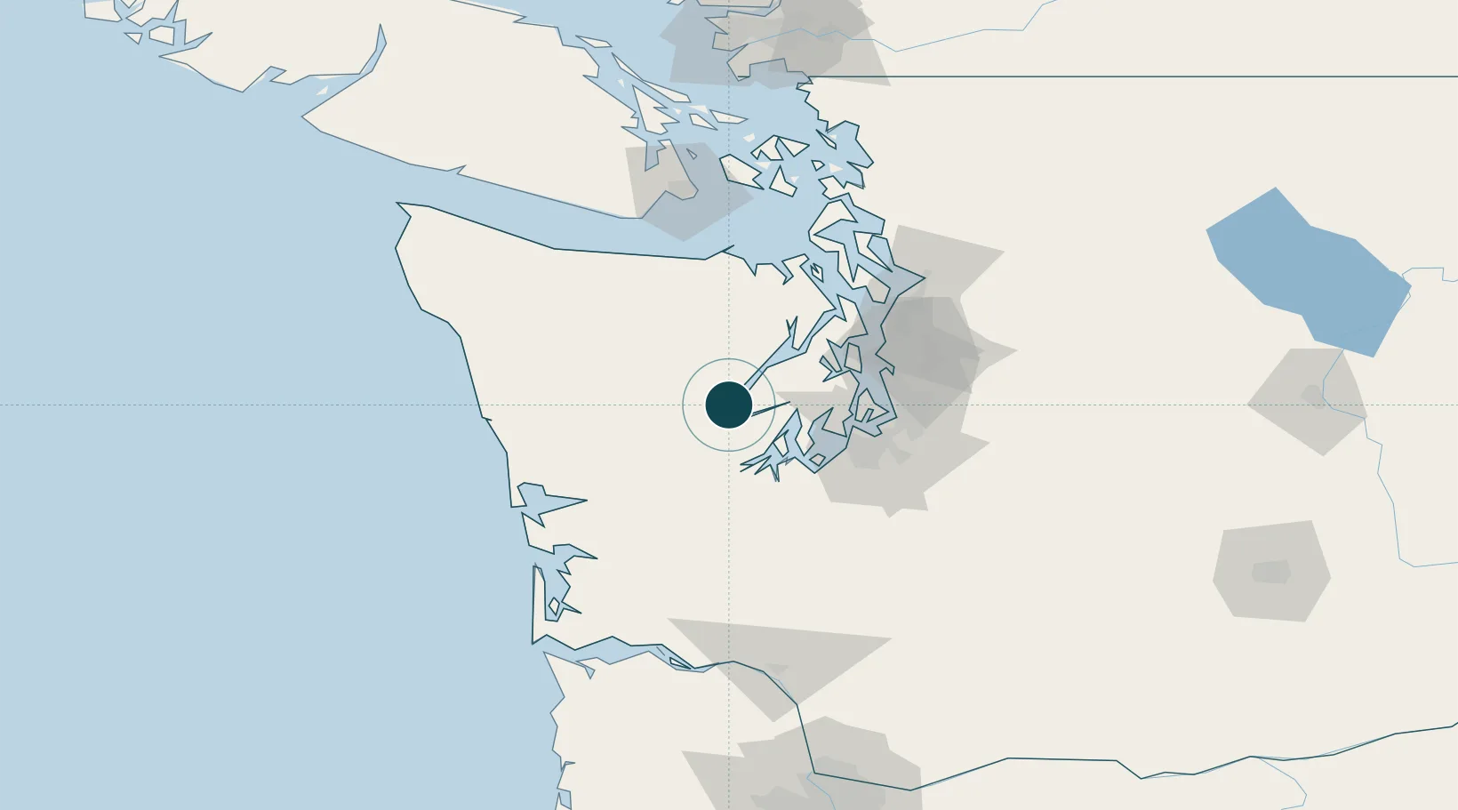
Alaska-Canada coastal waters; North Pacific Ocean
NGA World Port Index

Location

Location of US9WA
Natural Earth 10m (public domain) · Washington · US9WA · 47.42, -123.13GoogleOSMYandex

Nearby Logistics Neighbours

Ports
  1. 1Shelton22 km
  2. 2Port Orchard40 km
  3. 3Bremerton40 km
  4. 4Silverdale42 km
  5. 5Olympia44 km
Nearest neighbours — logibook spatial index (haversine) over the source coordinates
Cities
  1. 1Tahuya8 km
  2. 2Brinnon34 km
  3. 3Belfair36 km
  4. 4Wauna38 km
  5. 5Port Orchard40 km
Nearest neighbours — logibook spatial index (haversine) over the source coordinates
Airports
  1. 1Bremerton National Airport29 km
  2. 2Tacoma Narrows Airport45 km
  3. 3Olympia Regional Airport53 km
  4. 4Gray Army Air Field56 km
  5. 5McChord Air Force Base59 km
Nearest neighbours — logibook spatial index (haversine) over the source coordinates
Trade Zones
  1. 1FTZ No. 216 Olympia45 km
  2. 2FTZ No. 212 Tacoma49 km
  3. 3FTZ No. 005 Seattle54 km
  4. 4FTZ No. 086 Tacoma57 km
  5. 5FTZ No. 085 Everett95 km
Nearest neighbours — logibook spatial index (haversine) over the source coordinates
DatabookThe Record of Consolidated Knowledge
United States beyond logistics?
Browse databook

All Sources

Portsthe NGA World Port Index
Public domain (US gov)
AirportsOurAirports
Public domain
LocationsUN/LOCODE
UN/LOCODE — free
Trade Zonesthe World Bank SEZ database
CC BY 4.0
Trade ZonesOpen Zone Map
CC BY
← United States ports