Medium airport · United States
McChord Air Force BaseKTCM
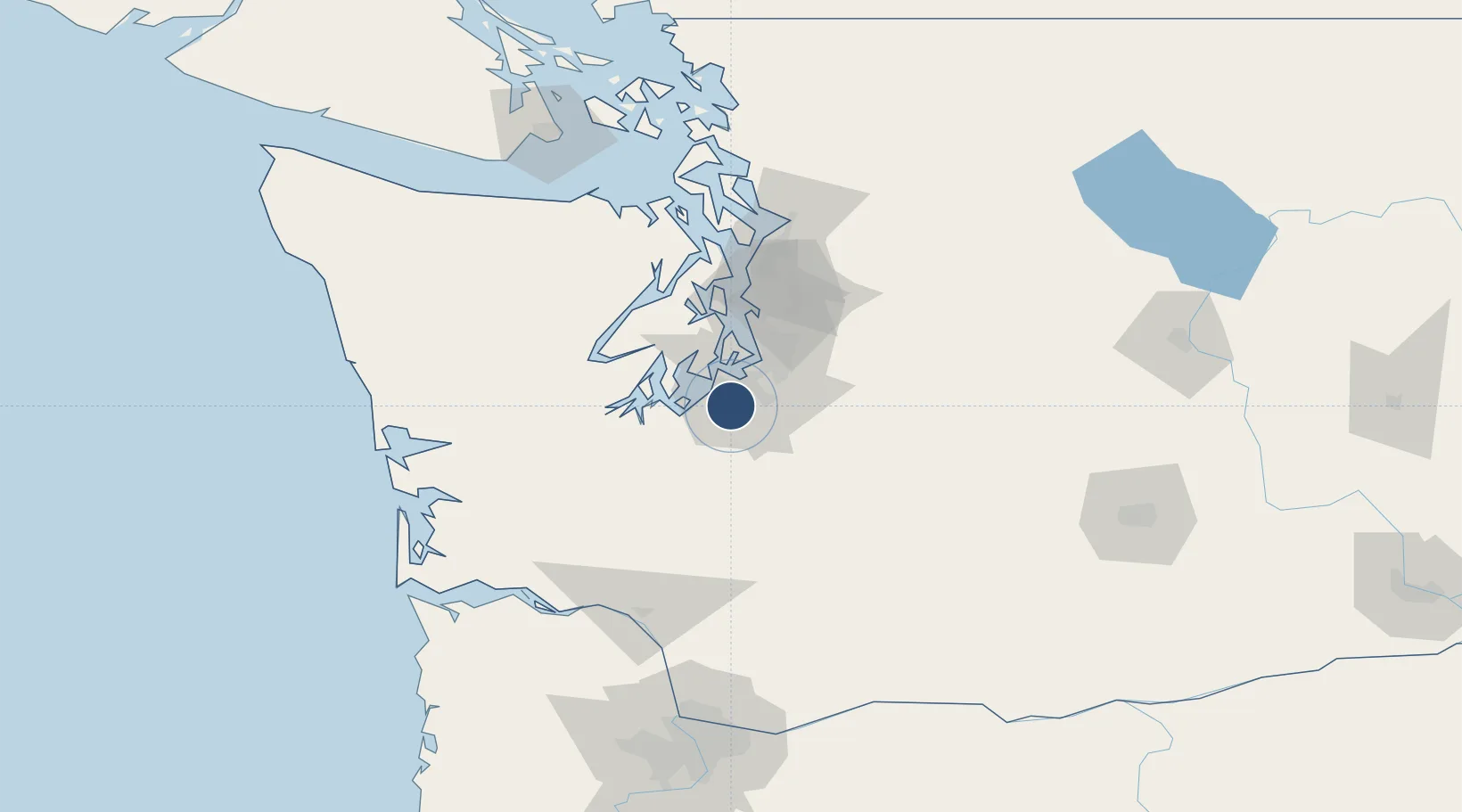
47.1377°, -122.4760°
10,108 ft
Longest runway
2
Runways
322 ft
Elevation
Runway & Layout

Radio Frequencies
ATIS
27.01 MHz
TWR
124.8 MHz
GND
125.15 MHz
A/D
126.5 MHz
SEATTLE APP/DEP
PMSV
34.25 MHz
PMSV METRO
POST
34.94 MHz
COMD POST
PTD
37.22 MHz
Navaids
TCM VORTAC Mcchord 109.60 MHz
Runways · 2
| Runway | Dimensions | Surface | True heading | Lit |
|---|---|---|---|---|
| 16/34 | 10,108 × 150ft | Asphalt | 180° | ✓ |
| 160/340 | 3,000 × 60ft | ASPH | — | — |
Airport Specifications
IATA code
TCM
ICAO code
KTCM
Airport class
Medium airport
Scheduled service
No
Runway surface
Asphalt
Served city
Tacoma
Location
Nearby Logistics Neighbours
Airports
Cities
- 1McChord Air Force Base2 km
- 2Fort Lewis12 km
- 3Fife14 km
- 4Tacoma17 km
- 5Bonney Lake22 km
Ports
- 1Tacoma17 km
- 2Olympia34 km
- 3Port Orchard46 km
- 4Shelton48 km
- 5Bremerton50 km
Trade Zones
- 1FTZ No. 212 Tacoma13 km
- 2FTZ No. 086 Tacoma15 km
- 3FTZ No. 216 Olympia36 km
- 4FTZ No. 005 Seattle53 km
- 5FTZ No. 085 Everett98 km
DatabookThe Record of Consolidated Knowledge
United States beyond logistics?