Channel & Berth Profile
Pilotage, Tugs & Services
Pilotage availableYES
Potable waterYES
Diesel bunkersYES
Facilities & Capabilities
Container—
Ro-Ro—
Liquid bulk—
Dry bulk—
Oil terminal—
Break bulk—
Dry dock—
Repairs—
BunkeringYES
Rail linkYES
Dangerous cargo—
ISPS security—
Harbour Specifications
Harbour size
Very Small
Harbour type
Coastal (Natural)
Shelter
Excellent
Water body
Alaska-Canada coastal waters; North Pacific Ocean
Tidal range
3.4 m
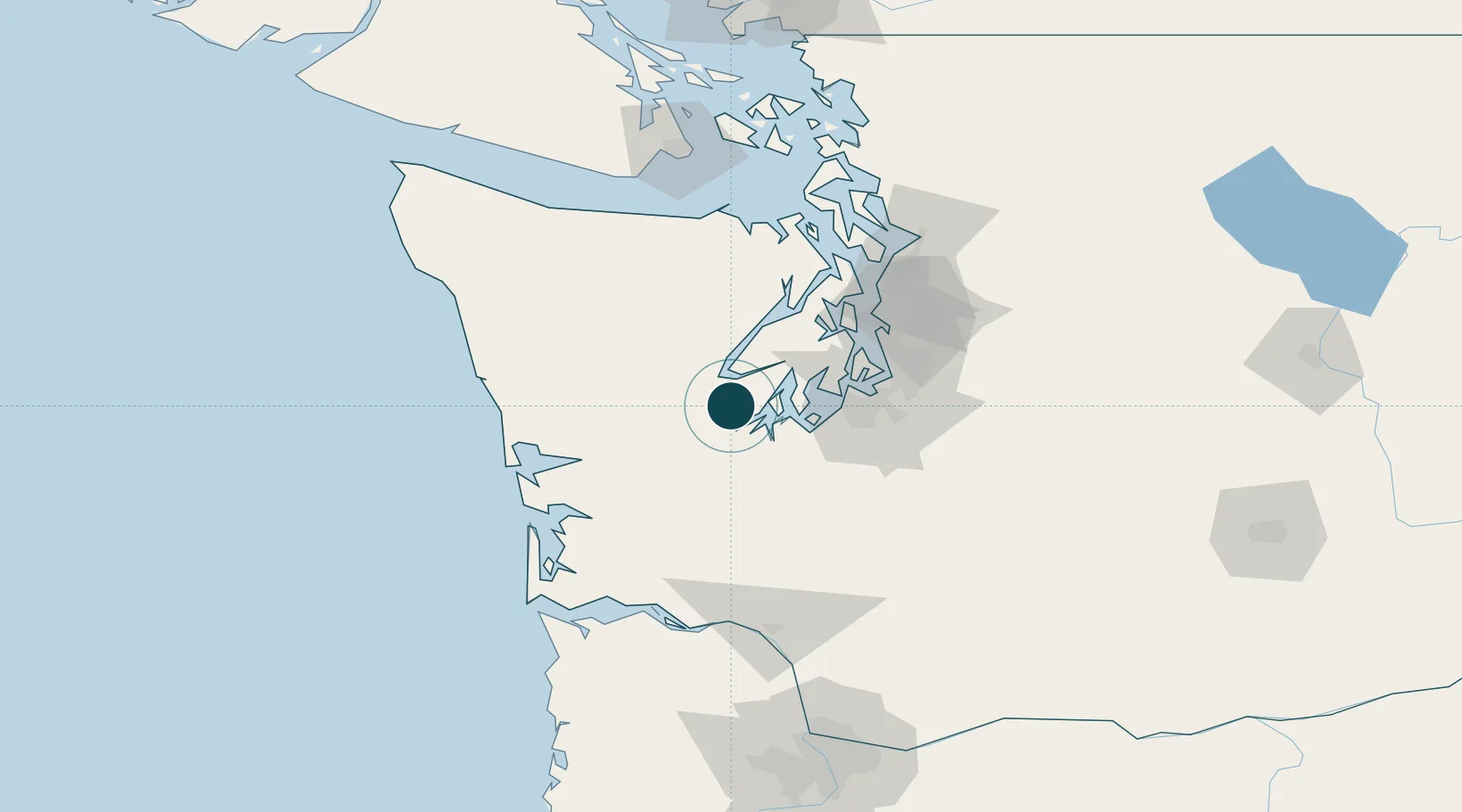
Location
Nearby Logistics Neighbours
Ports
- 1Hoodsport22 km
- 2Olympia24 km
- 3Port Orchard50 km
- 4Bremerton52 km
- 5Tacoma52 km
Airports
- 1Olympia Regional Airport31 km
- 2Bremerton National Airport40 km
- 3Tacoma Narrows Airport40 km
- 4Gray Army Air Field42 km
- 5McChord Air Force Base48 km
Trade Zones
- 1FTZ No. 216 Olympia24 km
- 2FTZ No. 212 Tacoma43 km
- 3FTZ No. 086 Tacoma52 km
- 4FTZ No. 005 Seattle64 km
- 5FTZ No. 173 Grays Harbor95 km
DatabookThe Record of Consolidated Knowledge
United States beyond logistics?