Channel & Berth Profile
Pilotage, Tugs & Services
Pilotage availableYES
Shore powerNO
Potable waterYES
Diesel bunkersNO
MedicalYES
Garbage disposalNO
Facilities & Capabilities
Container—
Ro-Ro—
Liquid bulk—
Dry bulk—
Oil terminal—
Break bulk—
Dry dock—
Repairs—
BunkeringNO
Rail link—
Dangerous cargo—
ISPS security—
Harbour Specifications
Harbour size
Very Small
Harbour type
Coastal (Natural)
Shelter
Excellent
Water body
Alaska-Canada coastal waters; North Pacific Ocean
Tidal range
2.7 m
Overhead limit
Yes
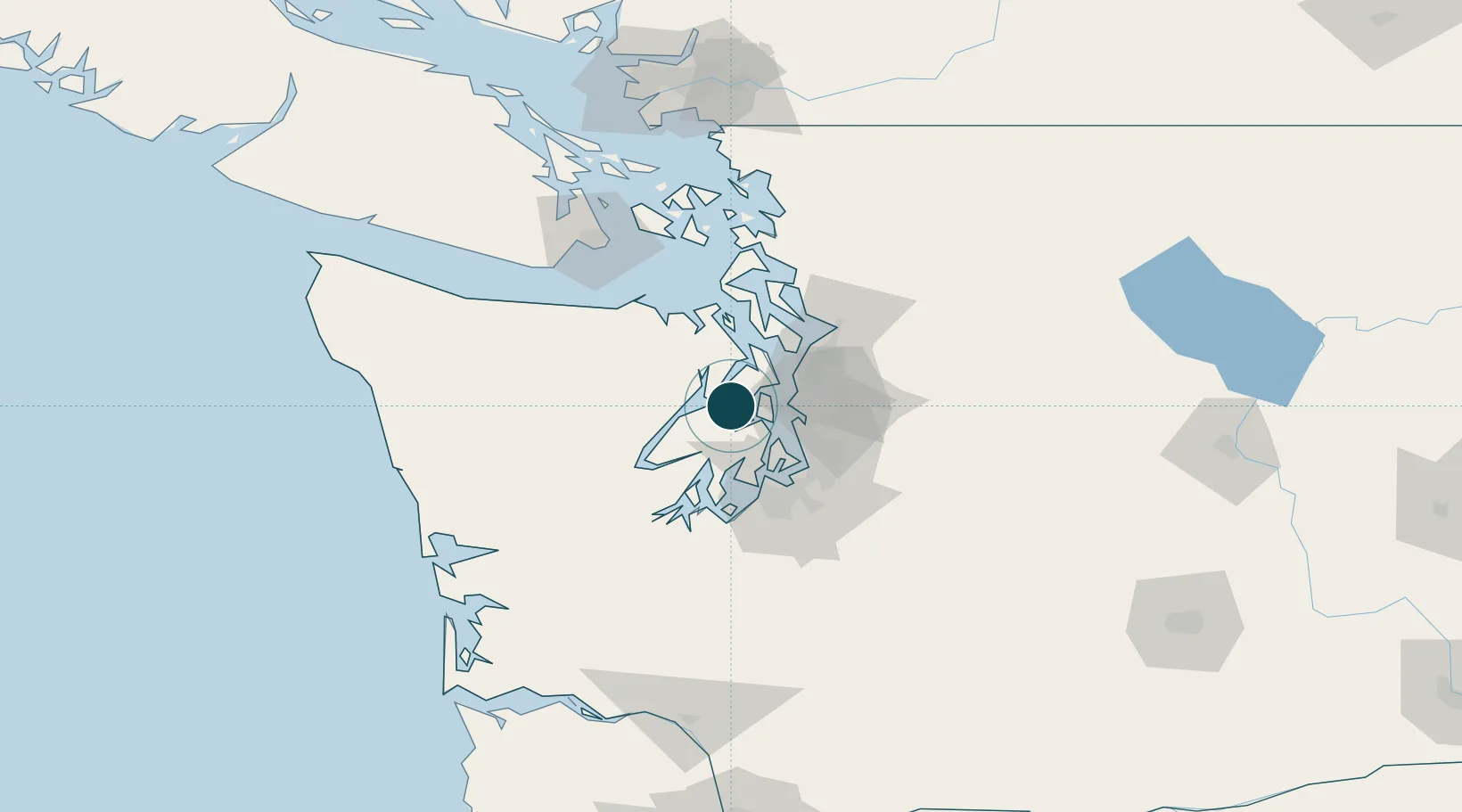
Location
Nearby Logistics Neighbours
Ports
- 1Keyport8 km
- 2Poulsbo10 km
- 3Bremerton10 km
- 4Port Orchard14 km
- 5Port Gamble24 km
Cities
- 1Keyport8 km
- 2Port Madison11 km
- 3Brinnon14 km
- 4Port Orchard14 km
- 5Bainbridge Island15 km
Airports
Trade Zones
- 1FTZ No. 005 Seattle17 km
- 2FTZ No. 212 Tacoma46 km
- 3FTZ No. 086 Tacoma48 km
- 4FTZ No. 085 Everett53 km
- 5FTZ No. 216 Olympia70 km
DatabookThe Record of Consolidated Knowledge
United States beyond logistics?