UN/LOCODE hub · United States
USBA3
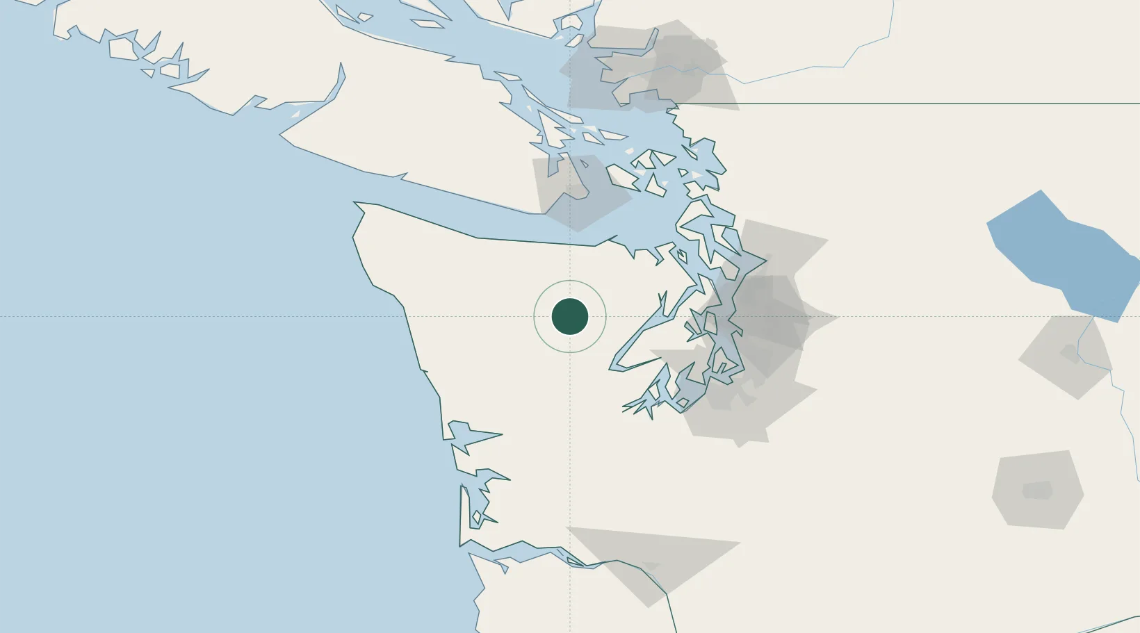
Belfair
47.6833°, -123.4000°
3,931
Population
4
Transport functions
Transport Functions
Port
Rail
Road
Multimodal
Hub Profile
Place type
Populated place
Region
Washington
Population
3,931
Time zone
America/Los_Angeles
Elevation
15 m
Location
Nearby Logistics Neighbours
Cities
- 1Hoodsport37 km
- 2Brinnon39 km
- 3Tahuya44 km
- 4Keyport59 km
- 5Port Ludlow60 km
Ports
- 1Hoodsport36 km
- 2Port Angeles48 km
- 3Silverdale53 km
- 4Poulsbo56 km
- 5Shelton57 km
Airports
Trade Zones
- 1FTZ No. 005 Seattle69 km
- 2FTZ No. 216 Olympia80 km
- 3FTZ No. 212 Tacoma82 km
- 4FTZ No. 086 Tacoma88 km
- 5FTZ No. 173 Grays Harbor92 km
DatabookThe Record of Consolidated Knowledge
United States beyond logistics?