Foreign Trade Zone · United States
FTZ No. 216 Olympia Active
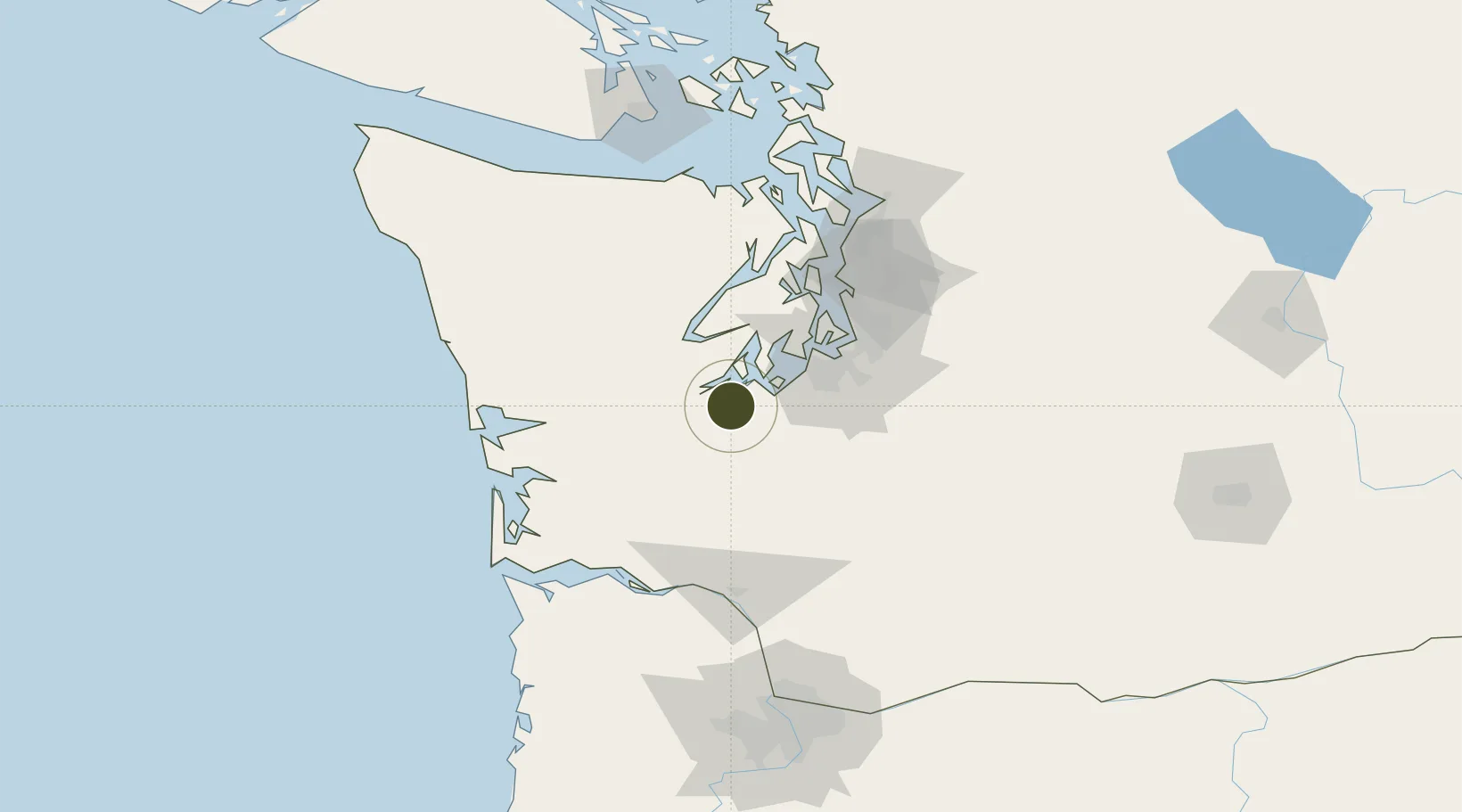
47.0393°, -122.9289°
2.5 km
Nearest port
8.0 km
Nearest airport
Gateway access
Zone profile
Zone type
Foreign Trade Zone
Region
Washington
Status
Active
Management
Public-Private Partnership
Operator
Port of Olympia
Legal framework
Foreign-Trade Zones Act
Location
Nearby Logistics Neighbours
Ports
- 1Olympia3 km
- 2Shelton24 km
- 3Hoodsport45 km
- 4Tacoma47 km
- 5Port Orchard59 km
Airports
- 1Olympia Regional Airport8 km
- 2Gray Army Air Field27 km
- 3McChord Air Force Base36 km
- 4Tacoma Narrows Airport37 km
- 5Bremerton National Airport52 km
Cities
- 1Olympia2 km
- 2McCleary24 km
- 3Fort Lewis28 km
- 4Yelm28 km
- 5McChord Air Force Base34 km
Trade Zones
- 1FTZ No. 212 Tacoma38 km
- 2FTZ No. 086 Tacoma47 km
- 3FTZ No. 005 Seattle72 km
- 4FTZ No. 120 Cowlitz County103 km
- 5FTZ No. 173 Grays Harbor109 km
DatabookThe Record of Consolidated Knowledge
United States beyond logistics?