UN/LOCODE hub · United States
USTA3

Tahuya

47.3667°, -123.0500°
1
Transport functions

Transport Functions

Port
UN/LOCODE

Hub Profile

Place type
Populated place
GeoNames
Region
Washington
GeoNames
Time zone
America/Los_Angeles
GeoNames
Elevation
6 m
GeoNames

Location

Location of USTA3
Natural Earth 10m (public domain) · Washington · USTA3 · 47.37, -123.05GoogleOSMYandex

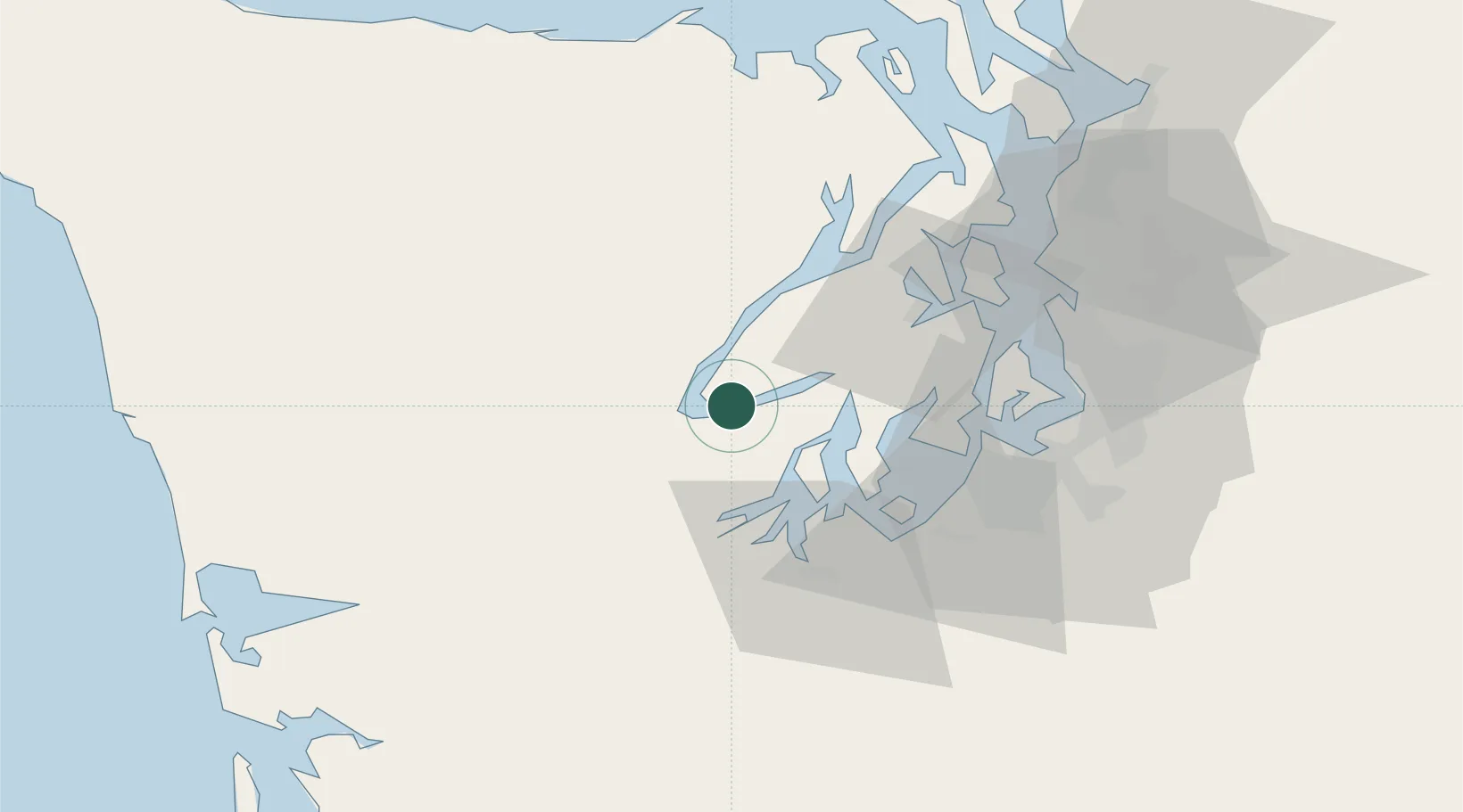
Nearby Logistics Neighbours

Cities
  1. 1Hoodsport7 km
  2. 2Wauna31 km
  3. 3Brinnon36 km
  4. 4Port Orchard36 km
  5. 5Olympia37 km
Nearest neighbours — logibook spatial index (haversine) over the source coordinates
Ports
  1. 1Hoodsport8 km
  2. 2Shelton17 km
  3. 3Port Orchard36 km
  4. 4Olympia37 km
  5. 5Bremerton37 km
Nearest neighbours — logibook spatial index (haversine) over the source coordinates
Airports
  1. 1Bremerton National Airport26 km
  2. 2Tacoma Narrows Airport37 km
  3. 3Olympia Regional Airport46 km
  4. 4Gray Army Air Field48 km
  5. 5McChord Air Force Base50 km
Nearest neighbours — logibook spatial index (haversine) over the source coordinates
Trade Zones
  1. 1FTZ No. 216 Olympia38 km
  2. 2FTZ No. 212 Tacoma42 km
  3. 3FTZ No. 086 Tacoma49 km
  4. 4FTZ No. 005 Seattle51 km
  5. 5FTZ No. 085 Everett94 km
Nearest neighbours — logibook spatial index (haversine) over the source coordinates
DatabookThe Record of Consolidated Knowledge
United States beyond logistics?
Browse databook

All Sources

LocationsUN/LOCODE
UN/LOCODE — free
Portsthe NGA World Port Index
Public domain (US gov)
AirportsOurAirports
Public domain
Trade Zonesthe World Bank SEZ database
CC BY 4.0
Trade ZonesOpen Zone Map
CC BY
← United States locations