Channel & Berth Profile
Pilotage, Tugs & Services
Pilotage compulsoryYES
Pilotage advisableYES
Tug assistanceYES
Shore powerYES
Potable waterYES
Diesel bunkersYES
MedicalYES
Garbage disposalYES
Facilities & Capabilities
Container—
Ro-Ro—
Liquid bulk—
Dry bulk—
Oil terminal—
Break bulk—
Dry dockNO
RepairsNO
BunkeringYES
Rail linkYES
Dangerous cargo—
ISPS security—
Harbour Specifications
Harbour size
Medium
Harbour type
Coastal (Natural)
Shelter
Excellent
Water body
Alaska-Canada coastal waters; North Pacific Ocean
Tidal range
2.4 m
Overhead limit
Yes
Pilotage
Yes
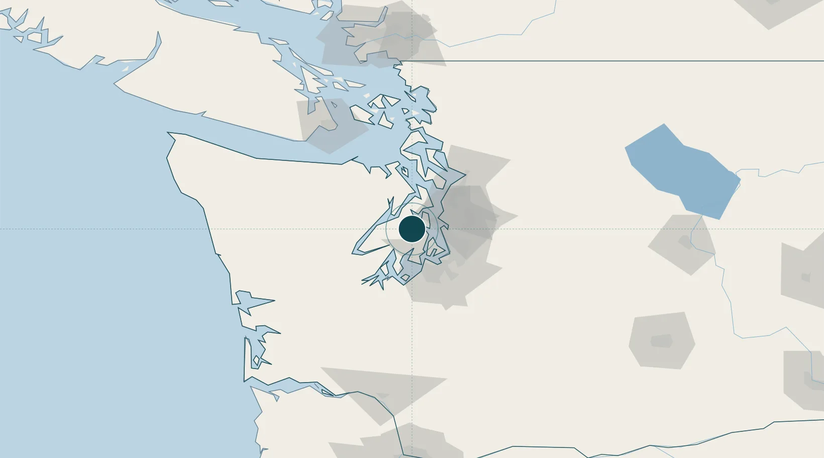
Location
Nearby Logistics Neighbours
Ports
- 1Port Orchard4 km
- 2Silverdale10 km
- 3Keyport15 km
- 4Poulsbo19 km
- 5Seattle24 km
Cities
- 1Port Orchard4 km
- 2Manchester9 km
- 3Port Blakely12 km
- 4Bainbridge Island13 km
- 5Keyport15 km
Airports
Trade Zones
- 1FTZ No. 005 Seattle14 km
- 2FTZ No. 212 Tacoma37 km
- 3FTZ No. 086 Tacoma38 km
- 4FTZ No. 085 Everett58 km
- 5FTZ No. 216 Olympia62 km
DatabookThe Record of Consolidated Knowledge
United States beyond logistics?