UN/LOCODE hub · United States
US9WA
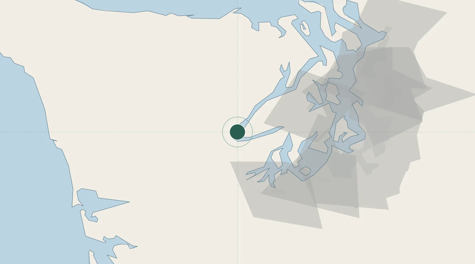
Hoodsport
47.4000°, -123.1333°
376
Population
2
Transport functions
Transport Functions
Port
Road
Hub Profile
Place type
Populated place
Region
Washington
Population
376
Time zone
America/Los_Angeles
Elevation
1 m
Location
Nearby Logistics Neighbours
Ports
- 1Shelton21 km
- 2Port Orchard40 km
- 3Bremerton41 km
- 4Olympia43 km
- 5Silverdale43 km
Airports
- 1Bremerton National Airport30 km
- 2Tacoma Narrows Airport44 km
- 3Olympia Regional Airport51 km
- 4Gray Army Air Field55 km
- 5McChord Air Force Base58 km
Trade Zones
- 1FTZ No. 216 Olympia43 km
- 2FTZ No. 212 Tacoma49 km
- 3FTZ No. 005 Seattle54 km
- 4FTZ No. 086 Tacoma56 km
- 5FTZ No. 085 Everett96 km
DatabookThe Record of Consolidated Knowledge
United States beyond logistics?