Medium airport · United States
Olympia Regional AirportKOLM
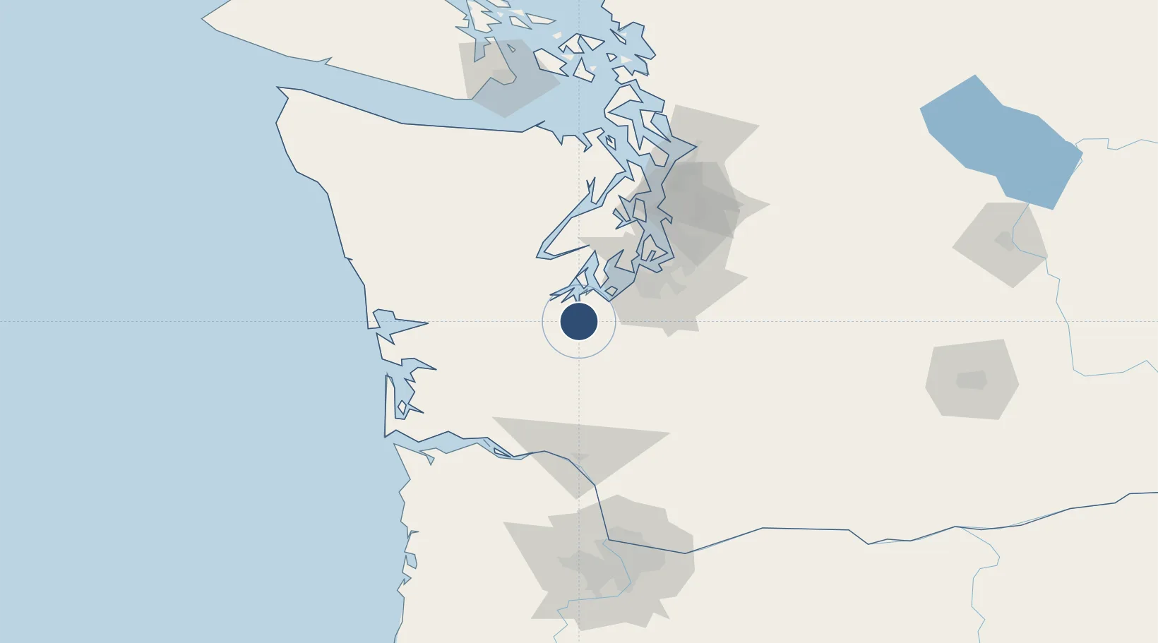
46.9694°, -122.9030°
5,500 ft
Longest runway
2
Runways
209 ft
Elevation
Runway & Layout

Radio Frequencies
ATIS
135.375 MHz
ASOS
135.725 MHz
TWR
124.4 MHz
GND
121.6 MHz
CTAF
124.4 MHz
A/D
121.1 MHz
SEATTLE APP/DEP
UNIC
122.95 MHz
UNICOM
Navaids
OLM VORTAC Olympia 113.40 MHz
Runways · 2
| Runway | Dimensions | Surface | True heading | Lit |
|---|---|---|---|---|
| 17/35 | 5,500 × 150ft | Asphalt | 191° | ✓ |
| 08/26 | 4,157 × 150ft | Asphalt | 104° | — |
Airport Specifications
IATA code
OLM
ICAO code
KOLM
Airport class
Medium airport
Scheduled service
Yes
Runway surface
Asphalt
Served city
Olympia
Location
Nearby Logistics Neighbours
Airports
Cities
- 1Olympia9 km
- 2Yelm23 km
- 3Fort Lewis27 km
- 4McCleary28 km
- 5McChord Air Force Base36 km
Ports
- 1Olympia9 km
- 2Shelton31 km
- 3Tacoma51 km
- 4Hoodsport53 km
- 5Port Orchard66 km
Trade Zones
- 1FTZ No. 216 Olympia8 km
- 2FTZ No. 212 Tacoma42 km
- 3FTZ No. 086 Tacoma50 km
- 4FTZ No. 005 Seattle78 km
- 5FTZ No. 120 Cowlitz County95 km
DatabookThe Record of Consolidated Knowledge
United States beyond logistics?