Channel & Berth Profile
Pilotage, Tugs & Services
Pilotage compulsoryYES
Pilotage advisableYES
Tug assistanceYES
Shore powerYES
Potable waterYES
Diesel bunkersYES
MedicalYES
Garbage disposalYES
Facilities & Capabilities
Container—
Ro-Ro—
Liquid bulk—
Dry bulk—
Oil terminal—
Break bulk—
Dry dock—
RepairsNO
BunkeringYES
Rail linkYES
Dangerous cargo—
ISPS security—
Harbour Specifications
Harbour size
Small
Harbour type
Coastal (Natural)
Shelter
Excellent
Water body
Alaska-Canada coastal waters; North Pacific Ocean
Tidal range
3.4 m
Pilotage
Yes
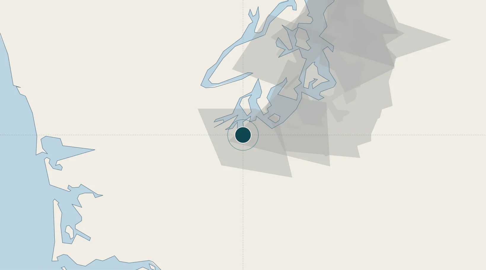
Location
Nearby Logistics Neighbours
Ports
- 1Shelton24 km
- 2Hoodsport44 km
- 3Tacoma45 km
- 4Port Orchard57 km
- 5Bremerton61 km
Cities
- 1Fort Lewis25 km
- 2Yelm26 km
- 3McCleary27 km
- 4McChord Air Force Base32 km
- 5Tahuya37 km
Airports
- 1Olympia Regional Airport9 km
- 2Gray Army Air Field24 km
- 3McChord Air Force Base34 km
- 4Tacoma Narrows Airport34 km
- 5Bremerton National Airport50 km
Trade Zones
- 1FTZ No. 216 Olympia3 km
- 2FTZ No. 212 Tacoma36 km
- 3FTZ No. 086 Tacoma44 km
- 4FTZ No. 005 Seattle70 km
- 5FTZ No. 120 Cowlitz County104 km
DatabookThe Record of Consolidated Knowledge
United States beyond logistics?