Transport Functions
Road
Multimodal
Hub Profile
Place type
Populated place
Region
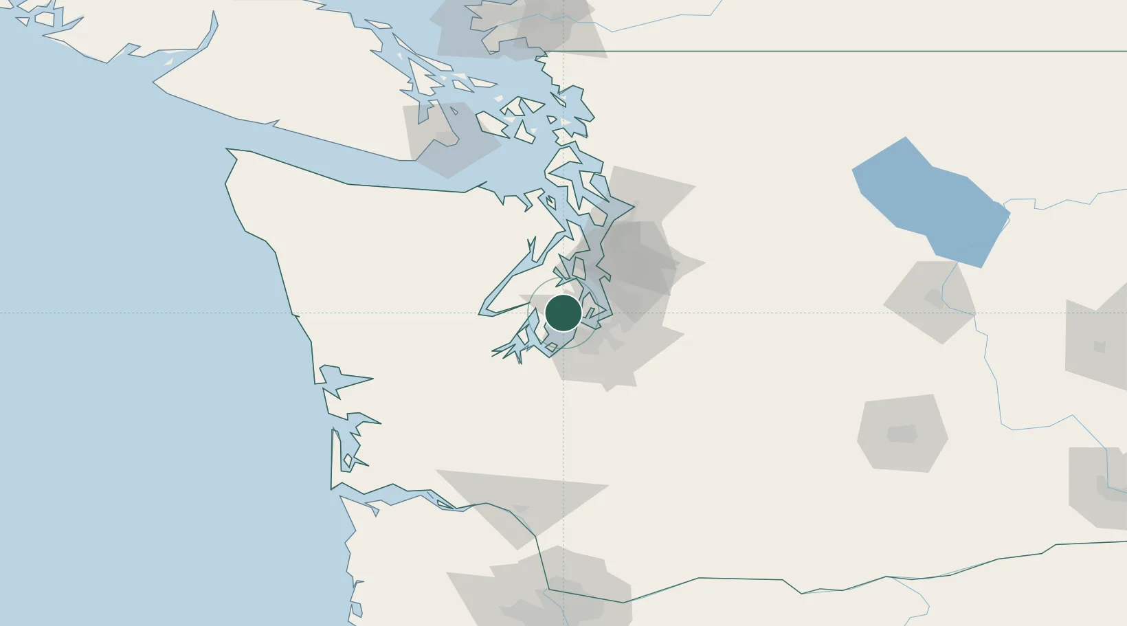
Washington
Population
4,186
Time zone
America/Los_Angeles
Elevation
3 m
Location
Nearby Logistics Neighbours
Cities
- 1Vashon Island14 km
- 2Port Orchard19 km
- 3Tacoma21 km
- 4Manchester22 km
- 5Des Moines24 km
Ports
- 1Port Orchard19 km
- 2Tacoma19 km
- 3Bremerton22 km
- 4Silverdale32 km
- 5Seattle34 km
Airports
Trade Zones
- 1FTZ No. 212 Tacoma15 km
- 2FTZ No. 086 Tacoma20 km
- 3FTZ No. 005 Seattle30 km
- 4FTZ No. 216 Olympia43 km
- 5FTZ No. 085 Everett77 km
DatabookThe Record of Consolidated Knowledge
United States beyond logistics?