Medium airport · United States

Bremerton National AirportKPWT

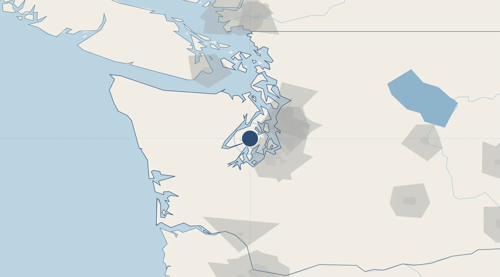
47.4902°, -122.7650°
6,000 ft
Longest runway
1
Runways
444 ft
Elevation

Runway & Layout

Bremerton National Airport runway & taxiway layout
Runway & taxiway layout — OpenStreetMap (ODbL) / OurAirports

Radio Frequencies

AWOS
121.2 MHz
AWOS 3
A/D
127.1 MHz
SEATTLE APP/DEP
UNIC
123.05 MHz
CTAF/UNICOM
OurAirports

Navaids

CAN NDB Carney 274 kHz
PWT NDB Kitsap 206 kHz
OurAirports

Runways · 1

RunwayDimensions SurfaceTrue headingLit
02/20 6,000 × 150ft Asphalt 033°
OurAirports

Airport Specifications

IATA code
PWT
OurAirports
ICAO code
KPWT
OurAirports
Airport class
Medium airport
OurAirports
Scheduled service
No
OurAirports
Runway surface
Asphalt
OurAirports
Served city
Bremerton
OurAirports

Location

Location of KPWT
Natural Earth 10m (public domain) · Washington · KPWT · 47.49, -122.76GoogleOSMYandex

Nearby Logistics Neighbours

Airports
  1. 1Tacoma Narrows Airport29 km
  2. 2Seattle–Tacoma International Airport35 km
  3. 3King County International Airport - Boeing Field35 km
  4. 4Kenmore Air Harbor Seaplane Base36 km
  5. 5McChord Air Force Base45 km
Nearest neighbours — logibook spatial index (haversine) over the source coordinates
Cities
  1. 1Port Orchard11 km
  2. 2Wauna17 km
  3. 3Manchester19 km
  4. 4Brinnon22 km
  5. 5Port Blakely23 km
Nearest neighbours — logibook spatial index (haversine) over the source coordinates
Ports
  1. 1Port Orchard11 km
  2. 2Bremerton12 km
  3. 3Silverdale18 km
  4. 4Keyport26 km
  5. 5Poulsbo28 km
Nearest neighbours — logibook spatial index (haversine) over the source coordinates
Trade Zones
  1. 1FTZ No. 005 Seattle25 km
  2. 2FTZ No. 212 Tacoma32 km
  3. 3FTZ No. 086 Tacoma37 km
  4. 4FTZ No. 216 Olympia52 km
  5. 5FTZ No. 085 Everett70 km
Nearest neighbours — logibook spatial index (haversine) over the source coordinates
DatabookThe Record of Consolidated Knowledge
United States beyond logistics?
Browse databook

All Sources

AirportsOurAirports
Public domain
Portsthe NGA World Port Index
Public domain (US gov)
LocationsUN/LOCODE
UN/LOCODE — free
Trade Zonesthe World Bank SEZ database
CC BY 4.0
Trade ZonesOpen Zone Map
CC BY
InfrastructureOpenStreetMap
ODbL 1.0
← United States airports