UN/LOCODE hub · United States
USQOC
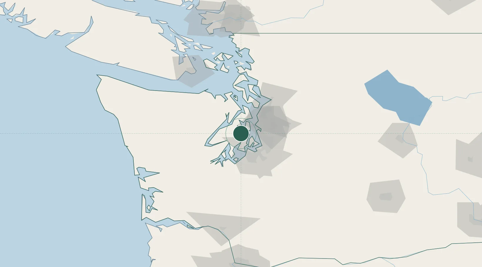
Port Orchard
47.5333°, -122.6333°
13,607
Population
1
Transport functions
Transport Functions
Port
Hub Profile
Place type
Provincial seat
Region
Washington
Population
13,607
Time zone
America/Los_Angeles
Elevation
22 m
Location
Nearby Logistics Neighbours
Cities
- 1Manchester8 km
- 2Port Blakely13 km
- 3Bainbridge Island14 km
- 4Vashon Island18 km
- 5Wauna19 km
Ports
- 1Port Orchard0 km
- 2Bremerton4 km
- 3Silverdale14 km
- 4Keyport19 km
- 5Poulsbo22 km
Airports
Trade Zones
- 1FTZ No. 005 Seattle14 km
- 2FTZ No. 212 Tacoma33 km
- 3FTZ No. 086 Tacoma34 km
- 4FTZ No. 216 Olympia59 km
- 5FTZ No. 085 Everett61 km
DatabookThe Record of Consolidated Knowledge
United States beyond logistics?