Medium airport · United States
Gray Army Air FieldKGRF
47.0792°, -122.5810°
6,124 ft
Longest runway
1
Runways
300 ft
Elevation
Runway & Layout

Radio Frequencies
ATIS
124.65 MHz
TWR
119.325 MHz
GND
121.9 MHz
GND/CLNC DEL
CTAF
119.325 MHz
A/D
120.1 MHz
SEATTLE APP/DEP
INFO
36.1 MHz
AR OPS
MISC
36.55 MHz
ARNG OPS
OPS
32.3 MHz
PMSV
134.1 MHz
PMSV METRO
RDO
36.7 MHz
BULLSEYE RDO
Navaids
GR NDB Graye 216 kHz
LAC NDB Lacomas 328 kHz
Runways · 1
| Runway | Dimensions | Surface | True heading | Lit |
|---|---|---|---|---|
| 15/33 | 6,124 × 150ft | Asphalt | 167° | ✓ |
Airport Specifications
IATA code
GRF
ICAO code
KGRF
Airport class
Medium airport
Scheduled service
No
Runway surface
Asphalt
Served city
Fort Lewis/Tacoma
Location
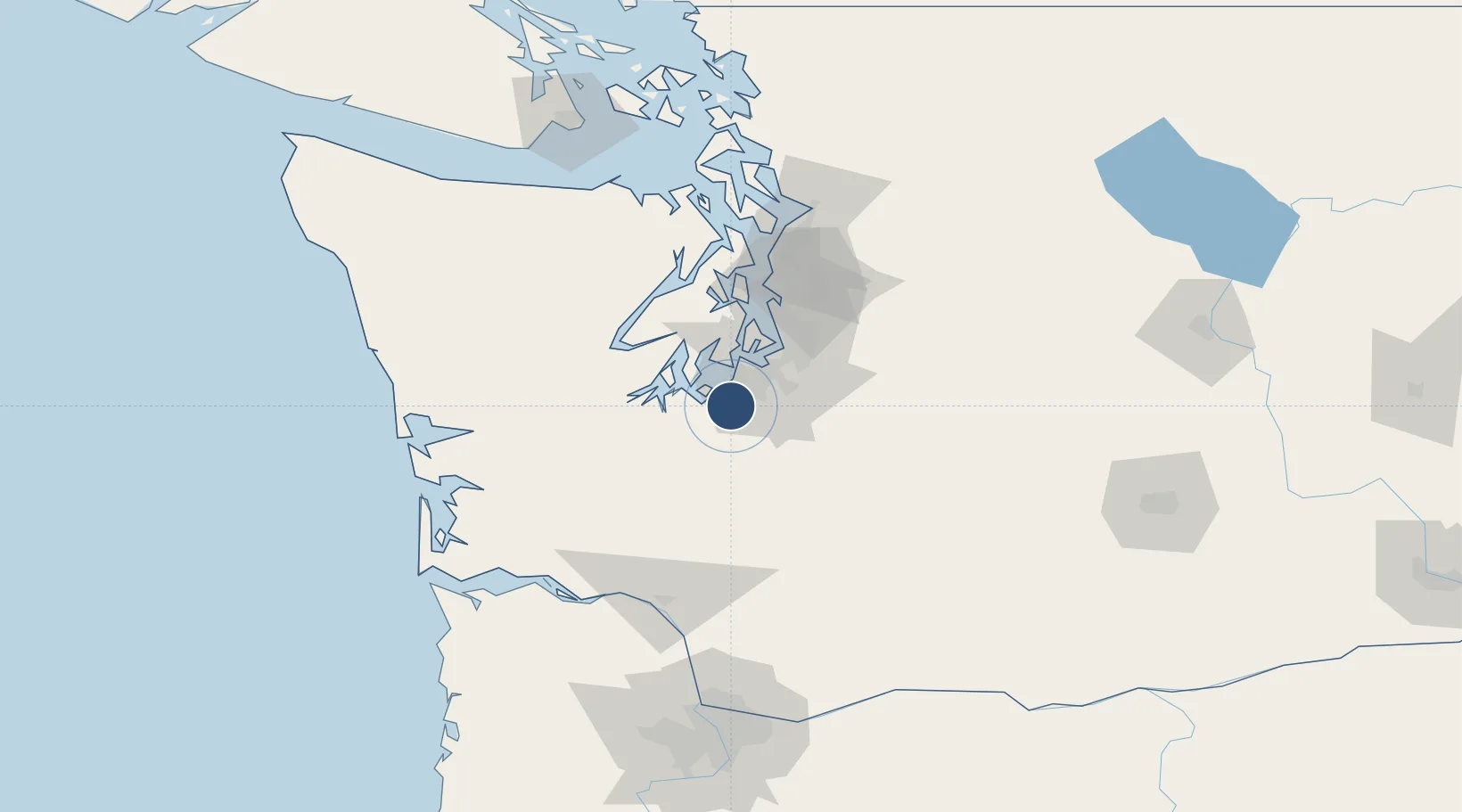
Nearby Logistics Neighbours
Airports
Cities
- 1Fort Lewis3 km
- 2McChord Air Force Base9 km
- 3Yelm16 km
- 4Fife25 km
- 5Olympia25 km
Ports
- 1Olympia24 km
- 2Tacoma26 km
- 3Shelton42 km
- 4Port Orchard51 km
- 5Bremerton55 km
Trade Zones
- 1FTZ No. 212 Tacoma19 km
- 2FTZ No. 086 Tacoma24 km
- 3FTZ No. 216 Olympia27 km
- 4FTZ No. 005 Seattle60 km
- 5FTZ No. 085 Everett106 km
DatabookThe Record of Consolidated Knowledge
United States beyond logistics?