Medium airport · United States

Tacoma Narrows AirportKTIW

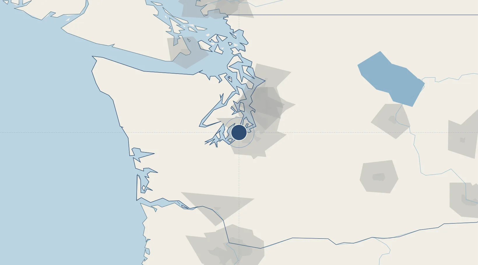
47.2674°, -122.5773°
5,002 ft
Longest runway
1
Runways
294 ft
Elevation

Runway & Layout

Tacoma Narrows Airport runway & taxiway layout
Runway & taxiway layout — OpenStreetMap (ODbL) / OurAirports

Radio Frequencies

ATIS
124.05 MHz
TWR
118.5 MHz
GND
121.8 MHz
CTAF
118.5 MHz
A/D
120.1 MHz
SEATTLE APP/DEP
UNIC
122.95 MHz
UNICOM
OurAirports

Runways · 1

RunwayDimensions SurfaceTrue headingLit
17/35 5,002 × 100ft Asphalt 187°
OurAirports

Airport Specifications

IATA code
TIW
OurAirports
ICAO code
KTIW
OurAirports
Airport class
Medium airport
OurAirports
Scheduled service
Yes
OurAirports
Runway surface
Asphalt
OurAirports
Served city
Tacoma
OurAirports

Location

Location of KTIW
Natural Earth 10m (public domain) · Washington · KTIW · 47.27, -122.58GoogleOSMYandex

Nearby Logistics Neighbours

Airports
  1. 1McChord Air Force Base16 km
  2. 2Gray Army Air Field21 km
  3. 3Seattle–Tacoma International Airport28 km
  4. 4Bremerton National Airport29 km
  5. 5King County International Airport - Boeing Field36 km
Nearest neighbours — logibook spatial index (haversine) over the source coordinates
Cities
  1. 1Wauna12 km
  2. 2Tacoma14 km
  3. 3McChord Air Force Base16 km
  4. 4Fife17 km
  5. 5Vashon Island19 km
Nearest neighbours — logibook spatial index (haversine) over the source coordinates
Ports
  1. 1Tacoma12 km
  2. 2Port Orchard30 km
  3. 3Bremerton34 km
  4. 4Olympia34 km
  5. 5Shelton40 km
Nearest neighbours — logibook spatial index (haversine) over the source coordinates
Trade Zones
  1. 1FTZ No. 212 Tacoma4 km
  2. 2FTZ No. 086 Tacoma13 km
  3. 3FTZ No. 216 Olympia37 km
  4. 4FTZ No. 005 Seattle39 km
  5. 5FTZ No. 085 Everett86 km
Nearest neighbours — logibook spatial index (haversine) over the source coordinates
DatabookThe Record of Consolidated Knowledge
United States beyond logistics?
Browse databook

All Sources

AirportsOurAirports
Public domain
Portsthe NGA World Port Index
Public domain (US gov)
LocationsUN/LOCODE
UN/LOCODE — free
Trade Zonesthe World Bank SEZ database
CC BY 4.0
Trade ZonesOpen Zone Map
CC BY
InfrastructureOpenStreetMap
ODbL 1.0
← United States airports