Seaport · Somalia
KismaayoSOKMU
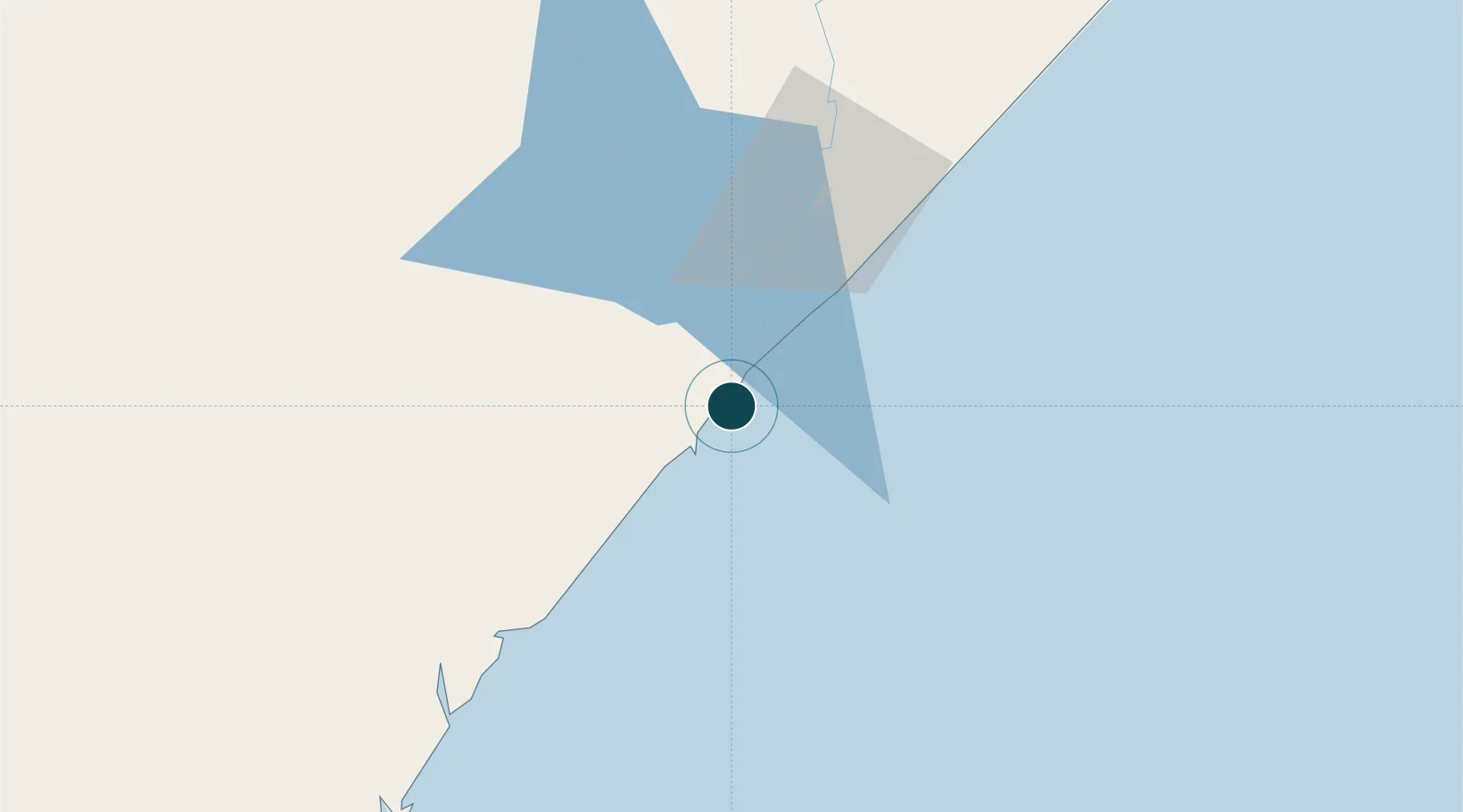
-0.3667°, 42.5500°
7.9 m
Channel depth
1
Container terminals
7.5
Port liner connectivity
Channel & Berth Profile
Pilotage, Tugs & Services
Pilotage compulsoryYES
Local assistanceYES
Tug assistanceYES
Shore powerYES
Potable waterYES
Diesel bunkersNO
MedicalYES
Facilities & Capabilities
Container—
Ro-Ro—
Liquid bulk—
Dry bulk—
Oil terminal—
Break bulk—
Dry dock—
RepairsNO
BunkeringNO
Rail link—
Dangerous cargo—
ISPS security—
Harbour Specifications
Harbour size
Very Small
Harbour type
Coastal (Breakwater)
Shelter
Good
Water body
Indian Ocean
Tidal range
2 m
Pilotage
Yes
Liner Connectivity
7.5
PLSCI
Port Liner Shipping Connectivity Index for Kismaayo, as published by UNCTAD for the latest available quarter. Higher values indicate stronger scheduled liner-shipping integration.
Shown relative to the highest per-port PLSCI in the dataset (1,657.9).
Location
Container Terminals · 1
KISMAYU CONTAINER TERMINAL
KCT KSCTC
Nearby Logistics Neighbours
Airports
- 1Kismayo Airport10 km
- 2Kiwayu Airport225 km
- 3Manda Airport278 km
- 4Wajir Airport360 km
- 5K50 Airstrip378 km
Trade Zones
DatabookThe Record of Consolidated Knowledge
Somalia beyond logistics?