Channel & Berth Profile
Pilotage, Tugs & Services
Pilotage availableNO
Tug assistanceNO
Potable waterYES
Diesel bunkersNO
MedicalYES
Facilities & Capabilities
Container—
Ro-Ro—
Liquid bulk—
Dry bulk—
Oil terminal—
Break bulk—
Dry dock—
Repairs—
BunkeringNO
Rail link—
Dangerous cargo—
ISPS security—
Harbour Specifications
Harbour size
Very Small
Harbour type
Open Roadstead
Shelter
Fair
Water body
Indian Ocean
Tidal range
3 m
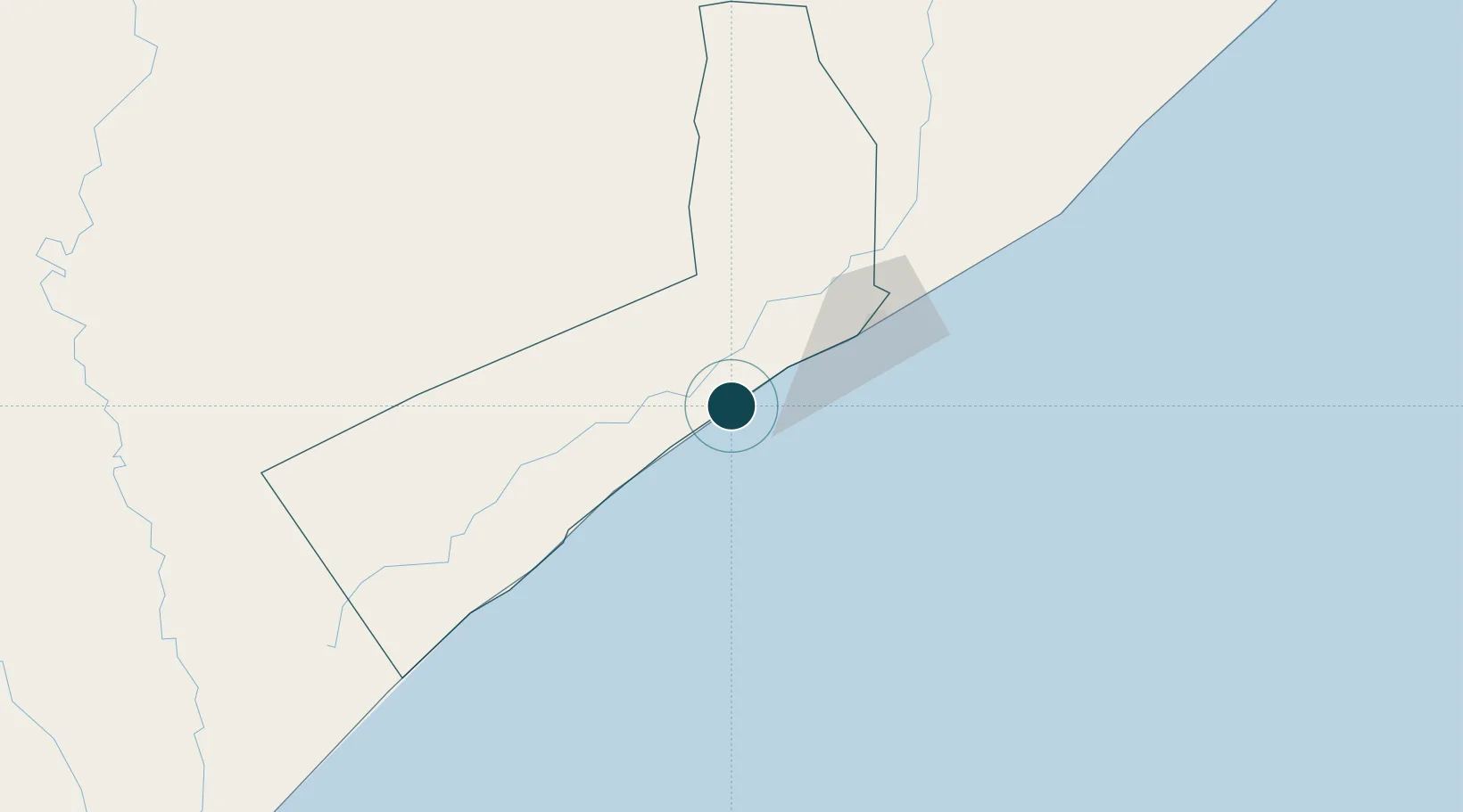
Location
Nearby Logistics Neighbours
Airports
- 1K50 Airstrip39 km
- 2Aden Adde International Airport67 km
- 3Beledweyne Airport343 km
- 4Kismayo Airport348 km
- 5Shilavo Airport485 km
Trade Zones
DatabookThe Record of Consolidated Knowledge
Somalia beyond logistics?