UN/LOCODE hub · Somalia
SOKMU

Kismayu

-0.3886°, 42.5442°
2
Transport functions
1
Container terminals

Transport Functions

Port
Airport
Kismayu is also a profiled seaport →
UN/LOCODE

Hub Profile

Logistics facilities
1
UN/LOCODE
Container terminals
1
UN/LOCODE

Location

Location of SOKMU
Natural Earth 10m (public domain) · Jubbada Hoose · SOKMU · -0.39, 42.54GoogleOSMYandex

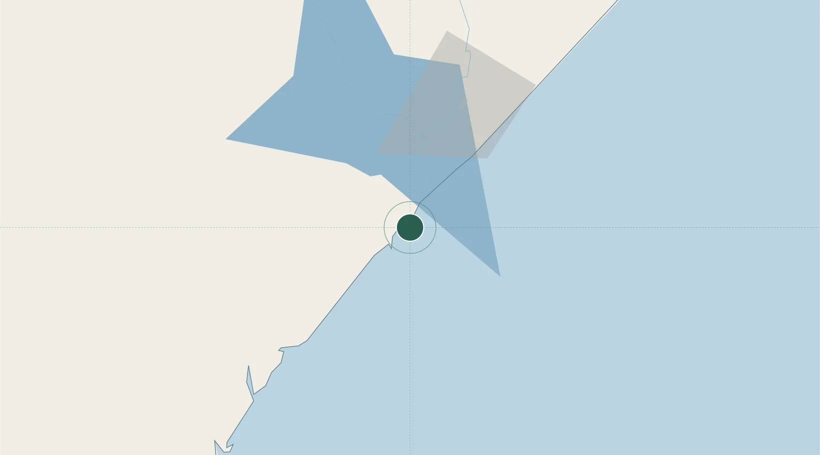
Nearby Logistics Neighbours

Cities
  1. 1Mogadishu410 km
  2. 2El Maan443 km
  3. 3Giohar482 km
  4. 4Mwingi502 km
  5. 5Mombasa519 km
Nearest neighbours — logibook spatial index (haversine) over the source coordinates
Ports
  1. 1Lamu278 km
  2. 2Marka342 km
  3. 3Muqdisho412 km
  4. 4Malindi413 km
  5. 5Kilifi468 km
Nearest neighbours — logibook spatial index (haversine) over the source coordinates
Airports
  1. 1Kismayo Airport10 km
  2. 2Kiwayu Airport223 km
  3. 3Manda Airport275 km
  4. 4Wajir Airport361 km
  5. 5K50 Airstrip380 km
Nearest neighbours — logibook spatial index (haversine) over the source coordinates
Trade Zones
  1. 1Lamu Port Special Economic Zone271 km
  2. 2Mombasa Special Economic Zone501 km
  3. 3Kipevu Public Export Processing Zone518 km
  4. 4Dongo Kundu Special Economic Zone520 km
  5. 5Dundani Industrial Park552 km
Nearest neighbours — logibook spatial index (haversine) over the source coordinates
DatabookThe Record of Consolidated Knowledge
Somalia beyond logistics?
Browse databook

All Sources

LocationsUN/LOCODE
UN/LOCODE — free
Portsthe NGA World Port Index
Public domain (US gov)
AirportsOurAirports
Public domain
Trade Zonesthe World Bank SEZ database
CC BY 4.0
Trade ZonesOpen Zone Map
CC BY
← Somalia locations