Export Processing Zone · Kenya

Kipevu Public Export Processing Zone Active
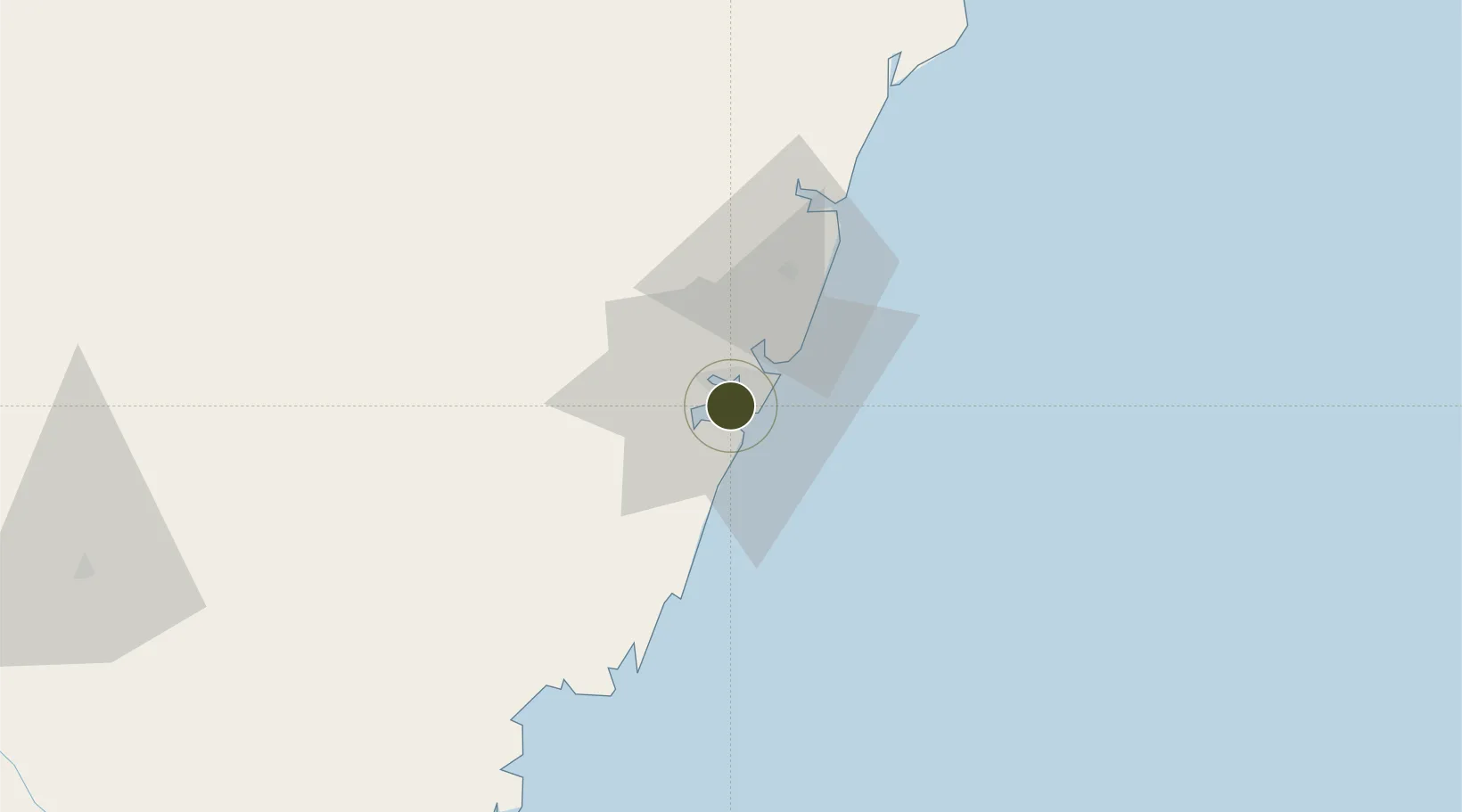
-4.0333°, 39.6426°
38 ha
Zone area
4.6 km
Nearest port
5.4 km
Nearest airport

Gateway access

Nearest neighbours — logibook spatial index (haversine) over the source coordinates

Zone profile

Zone type
Export Processing Zone
Open Zone Map
Region
Coast
Open Zone Map
Status
Active
Open Zone Map
Management
Public
Open Zone Map
Operator
Export Processing Zones Authority
Open Zone Map
Legal framework
Kenyan Export Processing Zones Act No. 12 of 1990
Open Zone Map

Location

Location of ozm-2659
Natural Earth 10m (public domain) · Coast · ozm-2659 · -4.03, 39.64GoogleOSMYandex

Nearby Logistics Neighbours

Ports
  1. 1Mombasa5 km
  2. 2Kilifi51 km
  3. 3Malindi106 km
  4. 4Tanga131 km
  5. 5Lamu241 km
Nearest neighbours — logibook spatial index (haversine) over the source coordinates
Airports
  1. 1Moi International Airport5 km
  2. 2Malindi International Airport103 km
  3. 3Tanga Airport134 km
  4. 4Pemba Airport137 km
  5. 5Manda Airport243 km
Nearest neighbours — logibook spatial index (haversine) over the source coordinates
Cities
  1. 1Mombasa2 km
  2. 2Shimoni74 km
  3. 3Tanga129 km
  4. 4Zanzibar241 km
  5. 5Moshi267 km
Nearest neighbours — logibook spatial index (haversine) over the source coordinates
Trade Zones
  1. 1Dongo Kundu Special Economic Zone10 km
  2. 2Mombasa Special Economic Zone17 km
  3. 3Dundani Industrial Park45 km
  4. 4Mkinga Special Economic Zone112 km
  5. 5Neema Tanga Special Economic Zone133 km
Nearest neighbours — logibook spatial index (haversine) over the source coordinates
DatabookThe Record of Consolidated Knowledge
Kenya beyond logistics?
Browse databook

All Sources

Trade ZonesOpen Zone Map
CC BY
Portsthe NGA World Port Index
Public domain (US gov)
AirportsOurAirports
Public domain
LocationsUN/LOCODE
UN/LOCODE — free
← Kenya trade zones