Medium airport · Kenya
Wajir AirportHKWJ
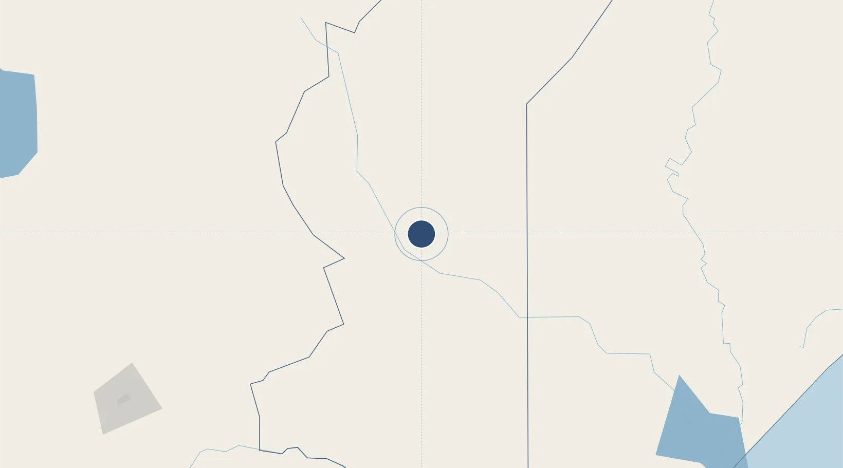
1.7332°, 40.0916°
9,193 ft
Longest runway
1
Runways
770 ft
Elevation
Runway & Layout

Radio Frequencies
AFIS
118.2 MHz
Navaids
WA NDB Wajir 318 kHz
WAV VOR-DME Wajir 112.50 MHz
Runways · 1
| Runway | Dimensions | Surface | True heading | Lit |
|---|---|---|---|---|
| 15/33 | 9,193 × 104ft | Asphalt | 146° | — |
Airport Specifications
IATA code
WJR
ICAO code
HKWJ
Airport class
Medium airport
Scheduled service
Yes
Runway surface
Asphalt
Served city
Wajir
Location
Nearby Logistics Neighbours
Airports
- 1Mulika Lodge Airport274 km
- 2Kismayo Airport353 km
- 3Laikipia Air Base390 km
- 4Nanyuki Airport394 km
- 5Kiwayu Airport432 km
Trade Zones
DatabookThe Record of Consolidated Knowledge
Kenya beyond logistics?