Seaport · Kenya

KilifiKEKLF

-3.6333°, 39.8667°
3.4 m
Channel depth

Channel & Berth Profile

SEA LEVEL (CD)CHANNEL BEDChannel · 3.4 mCargo pier · 9.4 mAnchorage · 14.0 m
NGA World Port Index

Pilotage, Tugs & Services

Pilotage compulsoryYES
Potable waterNO
Diesel bunkersNO
MedicalYES
NGA World Port Index

Facilities & Capabilities

Container
Ro-Ro
Liquid bulk
Dry bulk
Oil terminal
Break bulk
Dry dock
Repairs
BunkeringNO
Rail link
Dangerous cargo
ISPS security
NGA World Port Index

Harbour Specifications
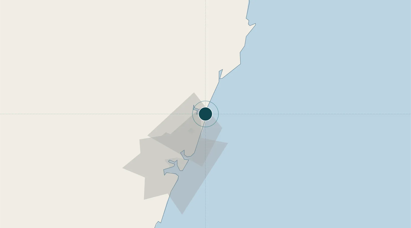
Harbour size
Very Small
NGA World Port Index
Harbour type
Open Roadstead
NGA World Port Index
Shelter
Poor
NGA World Port Index
Water body
Indian Ocean
NGA World Port Index
Tidal range
1 m
NGA World Port Index
Overhead limit
Yes
NGA World Port Index
Pilotage
Yes
NGA World Port Index

Location

Location of KEKLF
Natural Earth 10m (public domain) · Coast · KEKLF · -3.63, 39.87GoogleOSMYandex

Nearby Logistics Neighbours

Ports
  1. 1Mombasa53 km
  2. 2Malindi55 km
  3. 3Tanga181 km
  4. 4Lamu190 km
  5. 5Zanzibar292 km
Nearest neighbours — logibook spatial index (haversine) over the source coordinates
Cities
  1. 1Mombasa52 km
  2. 2Shimoni125 km
  3. 3Tanga180 km
  4. 4Moshi283 km
  5. 5Zanzibar290 km
Nearest neighbours — logibook spatial index (haversine) over the source coordinates
Airports
  1. 1Malindi International Airport52 km
  2. 2Moi International Airport54 km
  3. 3Pemba Airport181 km
  4. 4Tanga Airport185 km
  5. 5Manda Airport193 km
Nearest neighbours — logibook spatial index (haversine) over the source coordinates
Trade Zones
  1. 1Mombasa Special Economic Zone35 km
  2. 2Kipevu Public Export Processing Zone51 km
  3. 3Dongo Kundu Special Economic Zone52 km
  4. 4Dundani Industrial Park87 km
  5. 5Mkinga Special Economic Zone163 km
Nearest neighbours — logibook spatial index (haversine) over the source coordinates
DatabookThe Record of Consolidated Knowledge
Kenya beyond logistics?
Browse databook

All Sources

Portsthe NGA World Port Index
Public domain (US gov)
AirportsOurAirports
Public domain
LocationsUN/LOCODE
UN/LOCODE — free
Trade Zonesthe World Bank SEZ database
CC BY 4.0
Trade ZonesOpen Zone Map
CC BY
← Kenya ports