Medium airport · Kenya
Manda AirportHKLU
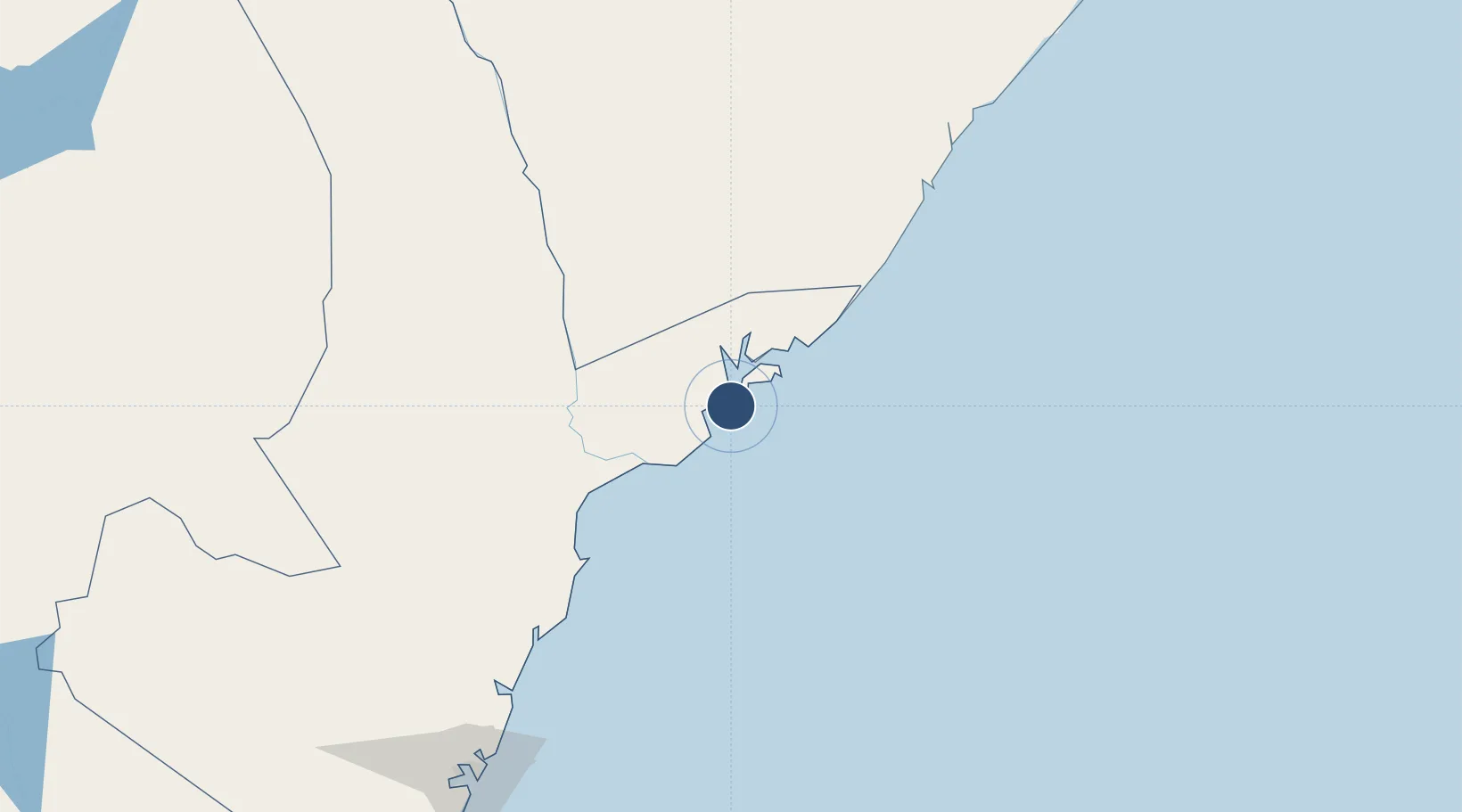
-2.2524°, 40.9129°
6,561 ft
Longest runway
3
Runways
20 ft
Elevation
Runway & Layout

Runways · 3
| Runway | Dimensions | Surface | True heading | Lit |
|---|---|---|---|---|
| 15/33 | 6,561 × 105ft | Asphalt | 152° | — |
| 07/25 | 3,054 × 46ft | Graded earth | 073° | — |
| 08/26 | 3,054 × 46ft | Graded earth | 074° | — |
Airport Specifications
IATA code
LAU
ICAO code
HKLU
Airport class
Medium airport
Scheduled service
Yes
Runway surface
Asphalt
Served city
Lamu
Location
Nearby Logistics Neighbours
Airports
- 1Kiwayu Airport54 km
- 2Malindi International Airport141 km
- 3Moi International Airport246 km
- 4Kismayo Airport270 km
- 5Pemba Airport356 km
Trade Zones
DatabookThe Record of Consolidated Knowledge
Kenya beyond logistics?