Transport Functions
Road
Multimodal
Hub Profile
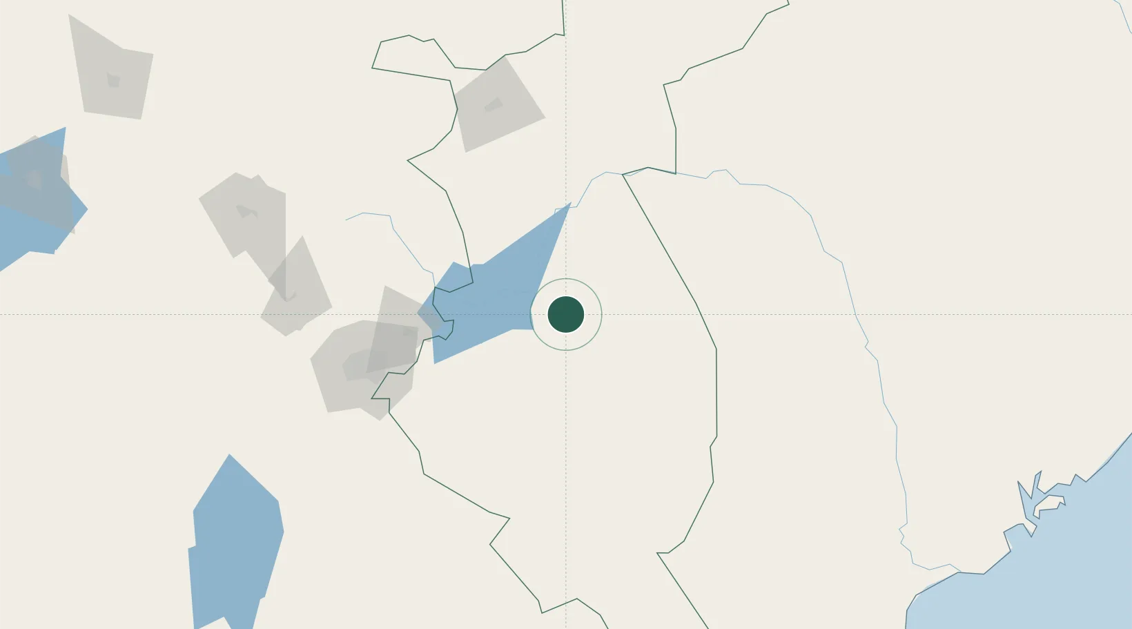
Place type
Populated place
Region
Kitui County
Population
17,025
Time zone
Africa/Nairobi
Elevation
1,004 m
Location
Nearby Logistics Neighbours
Airports
- 1Mulika Lodge Airport123 km
- 2Jomo Kenyatta International Airport134 km
- 3Moi Air Base139 km
- 4Nairobi Wilson Airport146 km
- 5Nanyuki Airport150 km
Trade Zones
DatabookThe Record of Consolidated Knowledge
Kenya beyond logistics?