Diversified Zone · Kenya

Lamu Port Special Economic Zone Active
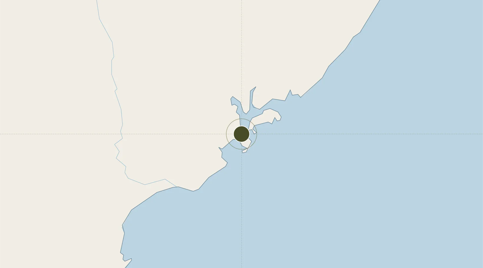
-2.1967°, 40.9162°
31,924 ha
Zone area
8.0 km
Nearest port
6.2 km
Nearest airport

Gateway access

Nearest neighbours — logibook spatial index (haversine) over the source coordinates

Zone profile

Zone type
Diversified Zone
Open Zone Map
Region
Coast
Open Zone Map
Status
Active
Open Zone Map
Management
Public-Private Partnership
Open Zone Map
Operator
Ministry of Transport, Infrastructure, Housing and Urban Development, China Merchants Port Group Company Limited, SEZ Authority
Open Zone Map
Legal framework
Special Economic Zones Act No. 16 of 2015
Open Zone Map

Location

Location of ozm-2657
Natural Earth 10m (public domain) · Coast · ozm-2657 · -2.20, 40.92GoogleOSMYandex

Nearby Logistics Neighbours

Ports
  1. 1Lamu8 km
  2. 2Malindi143 km
  3. 3Kilifi198 km
  4. 4Mombasa250 km
  5. 5Kismaayo273 km
Nearest neighbours — logibook spatial index (haversine) over the source coordinates
Airports
  1. 1Manda Airport6 km
  2. 2Kiwayu Airport50 km
  3. 3Malindi International Airport146 km
  4. 4Moi International Airport252 km
  5. 5Kismayo Airport265 km
Nearest neighbours — logibook spatial index (haversine) over the source coordinates
Cities
  1. 1Mombasa249 km
  2. 2Kismayu271 km
  3. 3Shimoni322 km
  4. 4Mwingi347 km
  5. 5Tanga377 km
Nearest neighbours — logibook spatial index (haversine) over the source coordinates
Trade Zones
  1. 1Mombasa Special Economic Zone232 km
  2. 2Kipevu Public Export Processing Zone248 km
  3. 3Dongo Kundu Special Economic Zone250 km
  4. 4Dundani Industrial Park282 km
  5. 5Mkinga Special Economic Zone361 km
Nearest neighbours — logibook spatial index (haversine) over the source coordinates
DatabookThe Record of Consolidated Knowledge
Kenya beyond logistics?
Browse databook

All Sources

Trade ZonesOpen Zone Map
CC BY
Portsthe NGA World Port Index
Public domain (US gov)
AirportsOurAirports
Public domain
LocationsUN/LOCODE
UN/LOCODE — free
← Kenya trade zones